What is recorded here
Situated on a slight rise in a fairly level landscape with a small NW-SE stream c. 50m to the N. The medieval parish church of Kilbeg (ME011-020----) is within a D-shaped graveyard (dims c. 45m N-S; c. 45m E-W) defined by a slight bank (int. H c. 0.1-0.4m; ext. H 1-1.4m) that is retained by an external stone cladding NW-E-SW. The original perimeter is absent SW-NW where the graveyard has been extended (dims c. 40-45m E-W; c. 30m N-S) to a N-S public road.
The cross-slab (ME011-020002-) is in the graveyard and there is a record by G. Du Noyer (1817-69) of a sundial (ME011-020003-) that is no longer present. Archaeological testing (E000622) by R. Meenan (excavations.ie 1991:103) NW of the graveyard produced evidence of some trenches (Wth of base 0.4-0.6m) cut into the subsoil overlain by a substantial wall with a shallow ditch on its N side. A large amount of slag and medieval pottery was recovered. (Meenan 1991)
Compiled by: Michael Moore
Date of upload: 21 May, 2014
Amended: 30 July, 2014, 14 June 2022, 1 August 2023
The monument record does not grant public access. Check the route and ask the landowner before entering private land.
- What survives
- Recorded monument
Places near here
 Moat of KilbegCastle, motte and bailey · 85 yd
 Owenroe and Moynalty DrainageMemorial · 1116 yd
 The GroveForest · 1471 yd
 Fox CovertForest · 1669 yd
 Enclosure in Newtown (kells Lower By., Newtown Ed)Enclosure · 1.0 mi
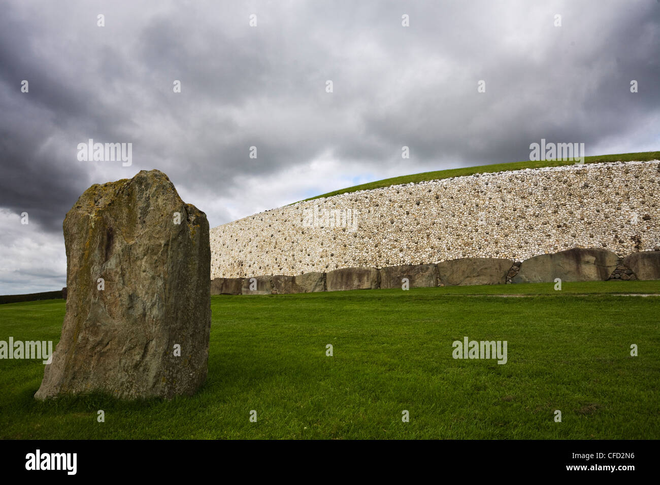 MoundArchaeological place · 1.1 mi
 GravelstownMountain / peak · 1.1 mi
 Gravelstown CastleCastle, unclassified · 1.2 mi
 DeerparkMountain / peak · 1.3 mi
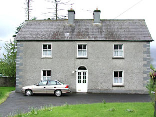 Reask Housefarm house · 1.3 mi
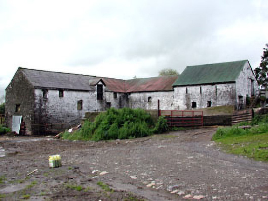 Plubber Housemill (water) · 1.5 mi
 John Mac MahonMemorial · 1.8 mi