
What is recorded here
Situated on a NW-facing slope of rising ground overlooking the shores of Lough Derg to the W. Kilbarron church listed in the ecclesiastical taxation of the Diocese of Killaloe in 1302 (CDI, vol. 5, 302). The Royal Visitation of 1615 described the building as a 'church and chancell in ruin' (Murphy and Ormond 1914,…
Read the whole record
From the National Monuments Service (Archaeological Survey of Ireland) record TN009-003002
Places near here
Photo credits
- National Inventory of Architectural Heritage
- Maker not stated on source page, ch.pinterest.com
- kevin higgins, Geograph · CC BY-SA 2.0
- Maker not stated on source page, www.pinterest.com
- Maker not stated on source page, en.wikipedia.org
- Maker not stated on source page, stock.adobe.com
- Maker not stated on source page, www.dreamstime.com
- P L Chadwick, Geograph · CC BY-SA 2.0
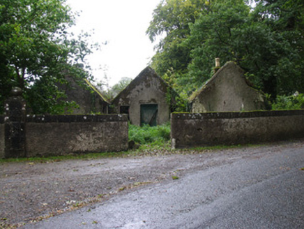 CastletownGate lodge · 780 yd
Explorer Tom Castletown’s gate lodge is playing hide-and-seek with its own corners; each room is linked only at the edges, so it…
 Castle CambieHouse, fortified house · 875 yd
Explorer Tom Castle Cambie in Castletown is playing hide-and-seek with me on Lough Derg’s rocky shore. It added fake battlements in…
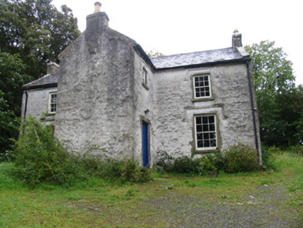 The BarracksRic barracks · 911 yd
Explorer Tom The Barracks in Coolbaun has a secret talent for doing absolutely nothing while looking very official. It used to house…
 Coolbaun Church (Kilbarron)Church/chapel · 1097 yd
Explorer Tom Coolbaun Church (Kilbarron) is guarding its slate roof like it’s holding back a storm that hasn’t happened yet. It’s…
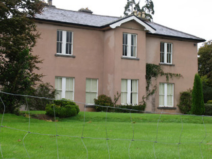 AnnaghCountry house · 1502 yd
Explorer Tom Annagh in Kilbiller has a projecting bay that sticks out like a thumb in someone's eye, but it looks good on the hill.…
 Leserragh HouseHouse · 1646 yd
Explorer Tom Leserragh House in O'Meara'S Acres, County Tipperary has a story about a cow that tried to buy it with milk money. The…
 Yellow IslandIslet · 1.2 mi
Explorer Tom Yellow Island is sick of people asking if it’s actually yellow or just covered in weird lichen that looks like paint.…
 Castle (in ruins)Bawn · 1.2 mi
Explorer Tom The Bawn at Annagh is basically a stone fence that got lost in the mist and never found its way home. It could survive…
 Earthwork in Carrigagown NorthEarthwork · 1.5 mi
Explorer Tom Carrigagown North has an earthwork that would describe the 1800s to a teenager as 'the era before we forgot where I…
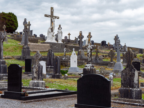 Kilbarron CemeteryCemetery · 1.7 mi
Explorer Tom Kilbarron Cemetery was built by a contractor who thought 'solid foundation' meant using mud that hadn’t quite dried…
 Bullaun stone (present location) in Ballyquinlevan UpperBullaun stone (present location) · 1.7 mi
Explorer Tom Bullaun stone in Ballyquinlevan Upper was found next to an old building where a priest lost a bet about whether it…
 Lough DergNationally known place · 2.4 mi
Explorer Tom Lough Derg in County Tipperary has an imaginary fan club of ducks who refuse to leave because they like the view too…
More archaeology and monuments in County Tipperary · All of County Tipperary

What do you know about this place?Tap to add a comment or ask a question