
What is recorded here
In pasture. Oval earthen mound (12m E-W; 5m N-S; H 0.5m) known locally as "children's burial ground". At SE corner three stones set in ground form cist-like structure (1.1m E-W; 0.73m N-S) (CO143-092----) with possibly displaced covering stone on N side. No grave markers noted.
The above description is derived from the published 'Archaeological Inventory of County Cork. Volume 1: West Cork' (Dublin: Stationery Office, 1992). In certain instances the entries have been revised and updated in the light of recent research.
Date of upload/revision: 14 January 2009
Neolithic burial monument, c. 4000–2500 BCE, potentially a cist burial associated with an earthen mound. Its significance lies in providing insight into early funerary practices and settlement patterns in the region.
The monument record does not grant public access. Check the route and ask the landowner before entering private land.
- What survives
- Recorded monument
Places near here
 IndicatedFairy fort / earthen ringfort · 289 yd
 Hut site in ReenogrenaHut site · 642 yd
 Famine VillageRuins · 783 yd
 Trá an tAonaighBeach / strand · 1035 yd
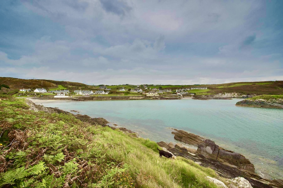 Faill na SeabhachCliff · 1040 yd
 Drombeg Stone CircleArchaeological place · 1217 yd
 Drombeg Fulacht Fia and RuinsVisitor information · 1219 yd
 Prison CoveBeach / strand · 1280 yd
 Country house in Drombeg (carbery E. (w.d.) By.)Country house · 1666 yd
 Walk 1 - Drombeg Standing Stone Circle (7 - 9 km)Walking route · 1.0 mi
 Eve IslandIslet · 1.3 mi
 Adam's IslandIslet · 1.3 mi
Other information
Photo: Credit not shown in the picture search · Rights wording not checked; contact us if this picture should be removed