What is recorded here
A castle (WM026-002----) is indicated in Gothic Script on the 1840 edition of the OS 6-inch map. On the revised 1910 edition of the revised OS 6-inch map the annotation on the map has changed from 'Castle' to 'Monastery (in Ruins)'. The monument was visited in 1976 and described as 'Directly behind and to the NW of Lynn House and within the high walled garden stands the ivy covered E gable of the monastic church (WM026-002001-). The gable contains a large pointed Gothic ope from which the dressings, mullions and tracery of a 14th/15th cent.[ury] window have dissappeared. There is a large rebate to the outer face of the gable, probably part of a buttress. The 'early' walls of the medieval monastic buildings, domestic gardens etc. can be faintly discerned in the character of the surrounding farm outhouses. At the W side of the house [Lynn House] and outbuildings is the reputed site of a 'castle' (WM026-002----). An 18th/19th century gateway (arched) at entrance from the road. There are faint traces of low earthworks in field directly NE of house [Lynn House] and local information places a number of burials & tunnel bteween the house and the graveyard (WM026-003001-) (SMR file 1976).
The files of the National Museum of Ireland records that in May 1967 human remains were discovered during excavation works at Mount Lynn House (Cahill & Sikora 2011, vol. 2, 522). The remains were discovered in a trench at a depth of 0.5m below ground level. The monument was reported to the NMI and investigated by Etienne Rynne. A number of skull fragments were noted, as well as leg bones, but it was not possible to ascertain the orientation of the burial. According to the notes of Etienne Rynne the bones were found in a trench on the grounds of Lynn House, extending from the house to the avenue. The bones are said to have been found a short distance south of the small medieval church (WM026-003----) and graveyard (WM026-003001-), on a site apparently founded by St. Colman towards the end of the 6th century. The remains were not removed and the trench was backfilled (NMI File).
Compiled by: Caimin O'Brien
Date of upload: 08 December 2010
A medieval burial ground associated with a possible monastery; significance relates to religious and funerary practices of the late medieval period.
The monument record does not grant public access. Check the route and ask the landowner before entering private land.
- What survives
- Recorded monument
Places near here
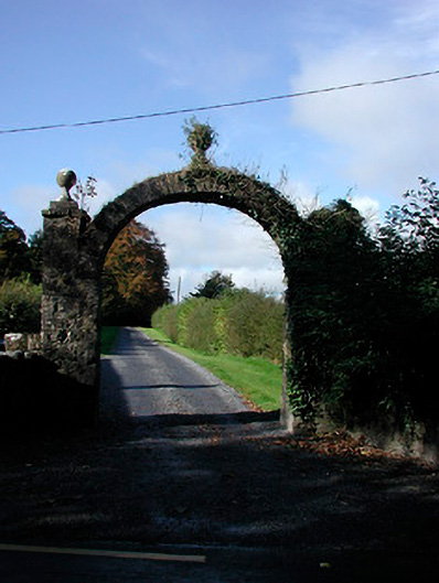 Lynn Housedemesne walls/gates/railings · 125 yd
 Ecclesiastical enclosure in LynnEcclesiastical enclosure · 130 yd
 Church (in Ruins)Church · 151 yd
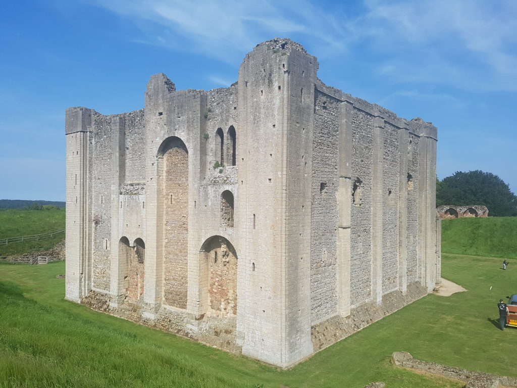 CastleCastle, unclassified · 291 yd
 Enclosure in LynnEnclosure · 609 yd
 Belvedere house and gardensVisitor information · 1.3 mi
 Ladestown Ho.House, fortified house · 1.4 mi
 Mollie Moo's Pet FarmHeritage attraction · 1.7 mi
 Blind IslandIslet · 1.9 mi
 Ash IslandIslet · 2.7 mi
 United Nations War MemorialMemorial · 3.1 mi
 Saint Brigid's WellSpring · 3.8 mi