What is recorded here
In rough pasture, on N-facing slope. Known locally as site of cill and graveyard (Ó Ríordáin 1933, 17-18). No visible trace.
From the National Monuments Service (Archaeological Survey of Ireland) record CO096-079
This remains an important historical record, but the official description says the monument is no longer visible or has been destroyed. The monument record does not grant public access. Check the route and ask the landowner before entering private land.
- What survives
- No visible remains or recorded as destroyed
Places near here
Photo credits
- National Inventory of Architectural Heritage
- Mike Searle, Geograph · CC BY-SA 2.0
- Frabjousone, Wikimedia Commons · CC BY-SA 4.0
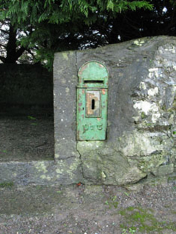 post box885 yd
 Woodfort HouseHouse · 1025 ydBurnt mound in MallowgatonBurnt mound · 1523 ydFulacht fia in Laragh (kinalmeaky By.)Fulacht fia · 1.1 miMount Pleasant WoodWood · 1.7 miCottage Road WoodWood · 1.7 mi
 Castle BernardRuins · 2.1 miTowers (in Ruins)House, fortified house · 2.5 miCathal Hurley MemorialMemorial · 2.8 miCarbury's WellSpring · 3.8 miTobar MacloonaboySpring · 4.3 mi
 Michael Collins MemorialMemorial · 4.4 mi
More archaeology and monuments in County Cork · All of County Cork
What do you know about this place?