What is recorded here
Situated on a slight rise in an area of undulating countryside with good views. Poorly preserved ruins of a rectangular church (OF024-022001-). Bullaun stone (OF024-022002-) located at W end of church. No surface trace of earthworks (OF024-022003-) depicted on OS 6-inch map to E and S of church. According to Comerford (1883, 196-7) there was a burial ground located here which was abandoned in the mid-19th-century and was used subsequently as a burial place for unbaptised children (OF024-022006-) with castle (OF024-055) located nearby. No surface trace of any burial ground or castle survives.
The above description is derived from the published 'Archaeological Inventory of County Offaly' (Dublin: Stationery Office, 1997). In certain instances the entries have been revised and updated in the light of recent research.
Date of upload: 23 May 2011
The monument record does not grant public access. Check the route and ask the landowner before entering private land.
- What survives
- Recorded monument
Places near here
 Killurin Church (in Ruins)Church · 73 yd
 Enclosure in KillurinEnclosure · 251 yd
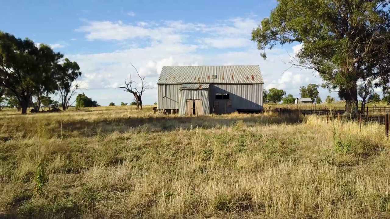 Ross WoodWood · 1143 yd
 Mahon's WoodWood · 1528 yd
 Burial ground in HollimshillBurial ground · 1.4 mi
 Mountpleasant Ho. in ruinsHouse, fortified house · 1.5 mi
 Mullagh HillMountain / peak · 1.6 mi
 Sugar HillMountain / peak · 1.6 mi
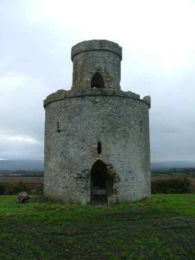 Mullagh Housefolly · 1.7 mi
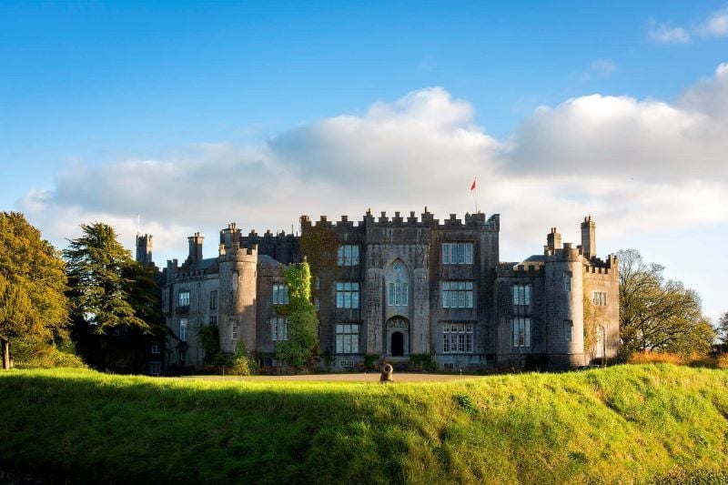 CastleCastle, unclassified · 1.8 mi
 Ardnagross WellSpring · 2.1 mi
 Graveyard in PallasGraveyard · 2.3 mi