
What is recorded here
Known locally as the church field all that remains of this site is the rubble of what appears to be a perimeter wall which encloses a rectangular area (OF024-019002-). Within the site to the east is a mound of rubble, may be the remains of some type of structure. There are no remains of graves or gravemarkers. Site is located on a South facing slope overlooking Pallas lake (fairly steep slope). The site itself forms a low hillock which is very overgrown with vegetation. (Shaw Rev. 1971, 63)
The above description is derived from the published 'Archaeological Inventory of County Offaly' (Dublin: Stationery Office, 1997). In certain instances the entries have been revised and updated in the light of recent research.
Date of upload: 23 May 2011
A local ancient tomb; wider significance not recorded.
The monument record does not grant public access. Check the route and ask the landowner before entering private land.
- What survives
- Recorded monument
Places near here
 Mountpleasant Ho. in ruinsHouse, fortified house · 672 yd
 Pallas Castle (in Ruins)Bawn · 817 yd
 Enclosure in CurraghmeelaghEnclosure · 1511 yd
 Graveyard in PallasGraveyard · 1562 yd
 Church (in Ruins)Church · 1584 yd
 IndicatedEnclosure · 1.0 mi
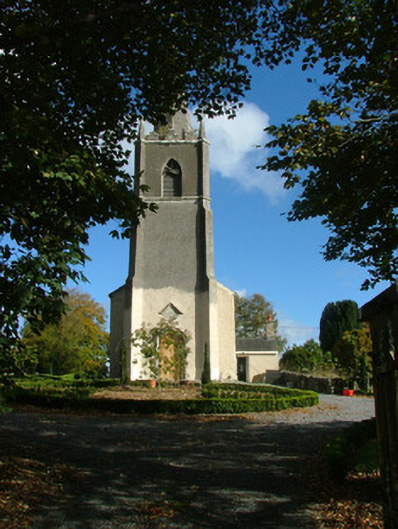 Saint Evehy's Church (Killoughy)church/chapel · 1.2 mi
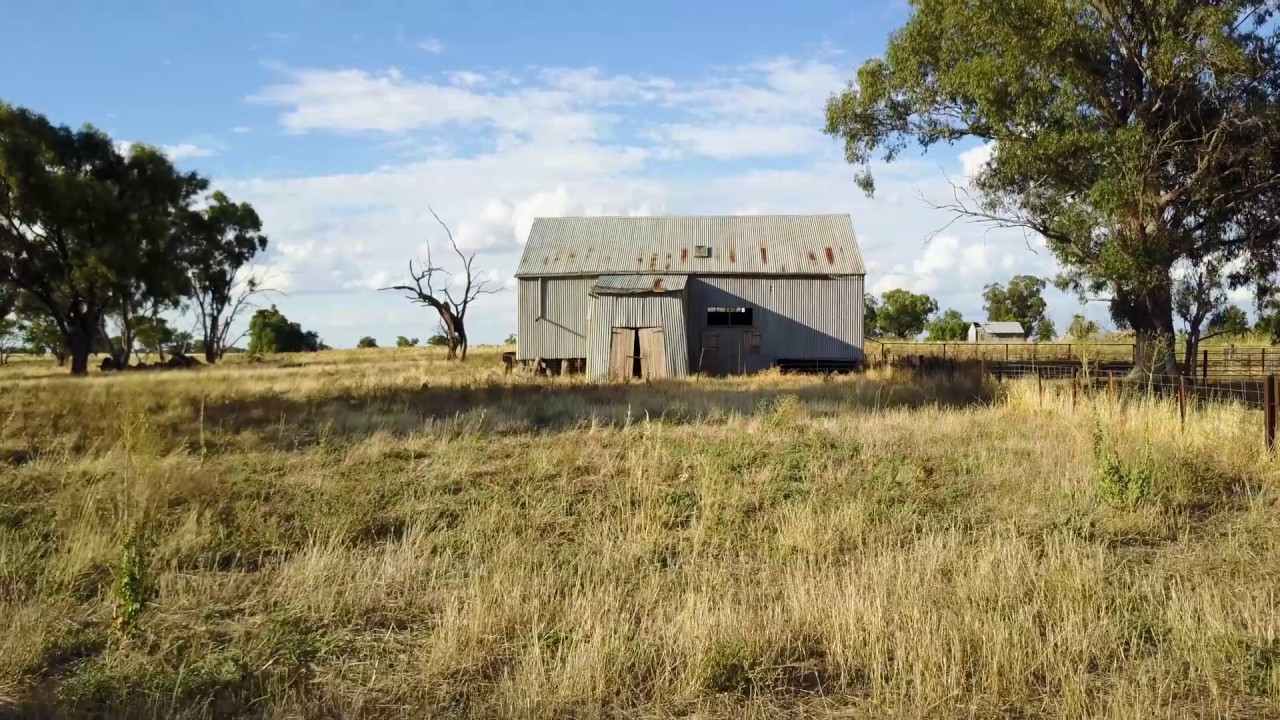 Ross WoodWood · 1.9 mi
 Lowerton HillMountain / peak · 2.2 mi
 Mahon's WoodWood · 2.2 mi
 Ardnagross WellSpring · 2.3 mi
 Sugar HillMountain / peak · 2.3 mi
Other information
Photo: Credit not shown in the picture search · Rights wording not checked; contact us if this picture should be removed