
What is recorded here
Located on a slight rise in an area of undulating countryside with good views. Oval shaped enclosure (48.9m E-W; 57.2m N-S) defined by a low dry stone wall with no other features visible. The interior of the site follows the natural contours of the land. There is no evidence for any habitation inside this site. Possible circular field boundary enclosing natural rise of ground.
The above description is derived from the published 'Archaeological Inventory of County Offaly' (Dublin: Stationery Office, 1997). In certain instances the entries have been revised and updated in the light of recent research.
Date of upload: 23 May 2011
The monument record does not grant public access. Check the route and ask the landowner before entering private land.
- What survives
- Recorded monument
Places near here
 KilnKiln, lime · 409 yd
 Church (in Ruins)Church · 1454 yd
 Pallas Castle (in Ruins)Bawn · 1481 yd
 Graveyard in PallasGraveyard · 1586 yd
 Burial ground in HollimshillBurial ground · 1.0 mi
 Enclosure in BallyfarrellEnclosure · 1.1 mi
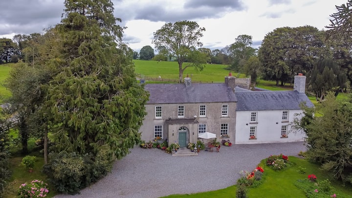 Bawn in Roscore DemesneBawn · 1.2 mi
 Ardnagross WellSpring · 2.0 mi
 Wild CherryWild Cherry · 2.2 mi
 Lowerton HillMountain / peak · 2.4 mi
 Sugar HillMountain / peak · 2.4 mi
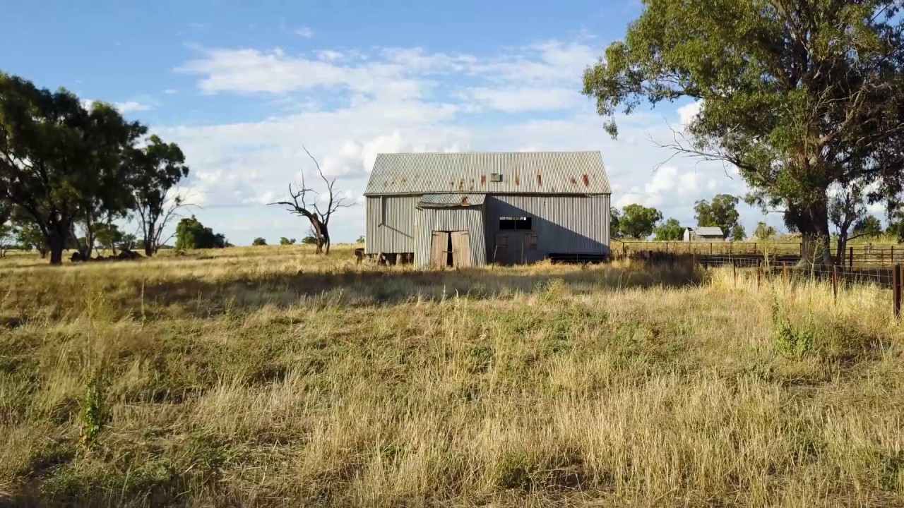 Ross WoodWood · 2.5 mi
Other information
Photo: Credit not shown in the picture search · Rights wording not checked; contact us if this picture should be removed