What is recorded here
Not visible at ground level. According to local information this was a square earthwork known locally as a 'moat'. Possibly associated with the nearby medieval church (OF024-022001-). Depicted on 1912 edition of OS 6-inch map as square shaped enclosure. Possible moated site.
From the National Monuments Service (Archaeological Survey of Ireland) record OF024-023
The monument record does not grant public access. Check the route and ask the landowner before entering private land.
- What survives
- Recorded monument
Places near here
Enclosure in KillurinEnclosure · 251 ydMullagh HillMountain / peak · 1.5 mi Mullagh HouseFolly · 1.6 miSugar HillMountain / peak · 1.7 miSaint Evehy's Church (Killoughy)Church/chapel · 1.8 miWild Cherry2.1 miSpindle2.5 miCharleville CastleCastle · 3.0 miBallycowan CastleCastle · 3.8 miGraveyard4.0 miMick the MillerMemorial · 4.5 miGrand Canal WayWalking route · 5.3 mi
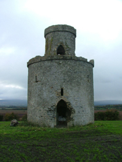 Mullagh HouseFolly · 1.6 miSugar HillMountain / peak · 1.7 mi
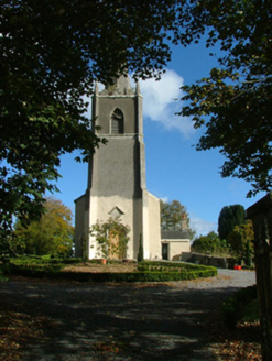 Saint Evehy's Church (Killoughy)Church/chapel · 1.8 mi
 Wild Cherry2.1 mi
 Spindle2.5 mi
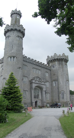 Charleville CastleCastle · 3.0 mi
 Ballycowan CastleCastle · 3.8 mi
 Graveyard4.0 mi
 Mick the MillerMemorial · 4.5 mi
 Grand Canal WayWalking route · 5.3 mi
Pictures: National Inventory of Architectural Heritage; MPF, Wikimedia Commons · CC BY 2.5; AnRo0002, Wikimedia Commons · CC0; User:Jgillett, Wikimedia Commons · Public domain; Kieran Campbell, Wikimedia Commons · CC BY-SA 2.0; Kieran Campbell, Geograph · Creative Commons Attribution-ShareAlike 2.0; kevin higgins, Wikimedia Commons · CC BY-SA 2.0; JP, Geograph · CC BY-SA 2.0
More archaeology and monuments in County Offaly · All of County Offaly
What do you know about this place?