
What is recorded here
Excavations in 1988 to the S of the Ballyboughal Road on a N facing slope close to Gracedieu Nunnery (DU007-015001-) revealed the poorly preserved remains of 65 individuals, 7 of which were placed in stone-lined and covered graves (Gowen 1989, 15-16). This cemetery lay in the ESE quadrant of an oval double-ditched enclosure (inner ditch dims. Wth 2.2m, D 1.4m; outer ditch dims Wth 5m, 2.15m). A sherd of E-ware indicates an Early Medieval date (Gowen 1989, 16-17).
Compiled by: Geraldine Stout
Updated by: Christine Baker
Date of upload: 16 April 2015
A Neolithic burial ground, dating to approximately 4000–2500 BCE, with stone-lined and coved burials, indicating early communal burial practices and ritual significance in the region.
The monument record does not grant public access. Check the route and ask the landowner before entering private land.
- What survives
- Recorded monument
Places near here
 Gracedieu NunneryRuins · 94 yd
 Nunnery (in ruins)Religious house, Augustinian, of Arrouaise nuns · 100 yd
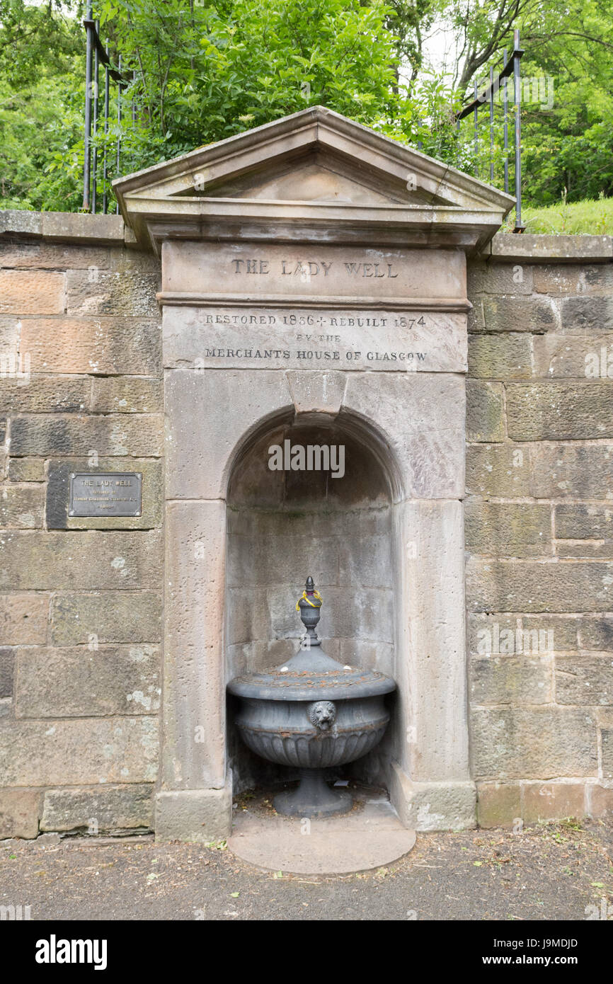 Lady WellHoly well · 174 yd
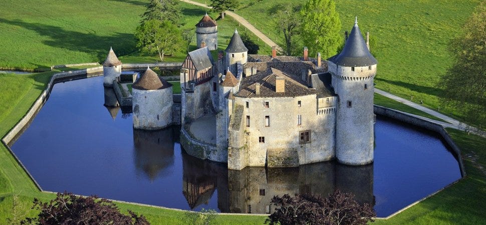 MoatMound · 202 yd
 Castle (Site of)Castle, tower house · 1.4 mi
 Roseville Business ParkVisitor information · 1.7 mi
 Redleaf Business ParkVisitor information · 1.7 mi
 Turvey Allotments and Nature ReserveNature reserve · 2.2 mi
 Thomas AsheMemorial · 2.2 mi
 Turvey HouseCastle, tower house · 2.3 mi
 St Cronans WellSpring · 3.3 mi
 Graveyard in KillosseryGraveyard · 3.7 mi
Other information
Photo: Credit not shown in the picture search · Rights wording not checked; contact us if this picture should be removed