What is recorded here
In 2004, archaeological monitoring (Halpin B. Excavation Licence No. 04E1638) of groundworks in advance of a proposed sand/gravel quarry resulted in the discovery and partial excavation of a previously unknown burial ground. A curving ditch (Wth 3.3m; max D 1.9m) was found to enclose a penannular area (diam. c. 70m N-S; c. 40m E-W), unenclosed between NE and S. Two fragments of pottery from the upper fill of the ditch were identified as Dublin type ware and local cooking ware of 12th-14th century date. The enclosed area contained some 216 skeletons, the majority of which have been left in situ. The burials comprised adults, juveniles and neonates and were generally aligned E-W and interred in very shallow grave cuts. No evidence of coffins or grave goods was found.
Compiled by: Gearóid Conroy
Date of upload: 10 January 2013
The monument record does not grant public access. Check the route and ask the landowner before entering private land.
- What survives
- Recorded monument
Places near here
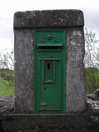 post boxpost box · 273 yd
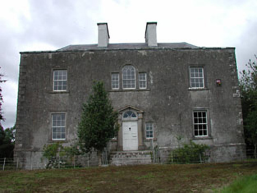 Ballinderry Househouse · 592 yd
 Base of CrossCross · 1.2 mi
 Site of Balrinnet CastleCastle, unclassified · 1.3 mi
 Mylerstown Castle in RuinsCastle, tower house · 1.3 mi
 Site of ChurchChurch · 1.6 mi
 Buggan's WoodWood · 2.5 mi
 Bog WoodsWood · 2.7 mi
 Croppies' GraveMemorial · 3.3 mi
 Lullymore Heritage ParkHeritage attraction · 8.8 mi
 The Fairy BowerHeritage attraction · 8.8 mi
 Grand Canal WayVisitor information · 11 mi