What is recorded here
No visible trace remained on the gentle pasture slope when examined decades later, though a circular enclosure nearly seventy metres across stood marked on the 1838 map. That absence transforms the site into a living memory rather than a dead ruin. The earth may have swallowed the ridge, or people may have simply stopped seeing what they no longer needed. Either way, the fortress refused to be forgotten.
Indicated on the 1st ed. (1838) of the OS 6-inch map as a circular enclosure (est. diam. c. 70m). On a gentle S-facing pasture slope. There was no visible surface trace of the monument in 1985 (SMR file).
Compiled by: Gearóid Conroy
Date of upload: 10 June 2011
The monument record does not grant public access. Check the route and ask the landowner before entering private land.
- What survives
- Recorded monument
Places near here
 Mylerstown ChurchChurch · 909 yd
 Mylerstown Castle in RuinsCastle, tower house · 984 yd
 Wall monument in CadamstownWall monument · 1163 yd
 Base of CrossCross · 1588 yd
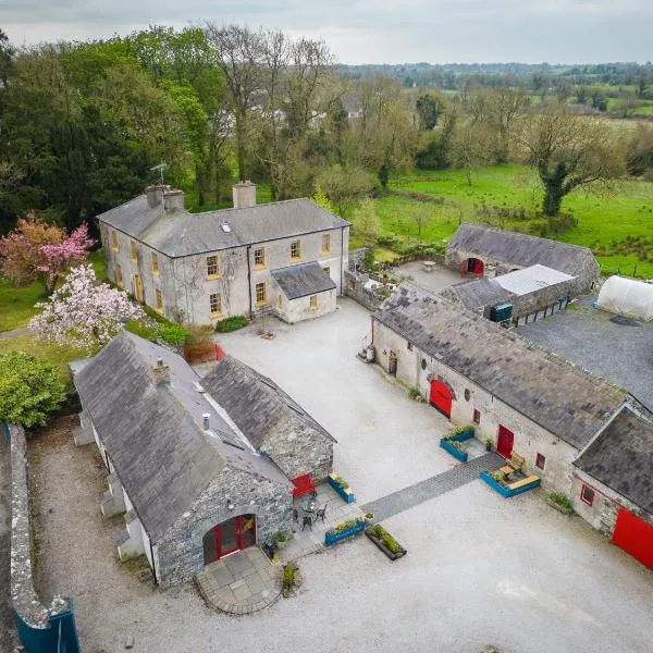 Enclosure in Collinstown (carbury Ed)Enclosure · 1.2 mi
 Site of CastleCastle, tower house · 1.4 mi
 Buggan's WoodWood · 2.9 mi
 Bog WoodsWood · 3.3 mi
 Croppies' GraveMemorial · 4.2 mi
 Lullymore Heritage ParkHeritage attraction · 8.1 mi
 The Fairy BowerHeritage attraction · 8.1 mi
 Grand Canal WayVisitor information · 9.7 mi