What is recorded here
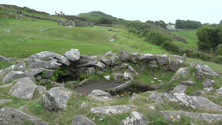
Ardaragh West holds a rectangular burial ground about twenty metres long inside an east-facing hollow between rocky ridges. Sheep still graze above the occasional surface stones, trapping human loss beneath ordinary motion. The site served deaths before the mid 19th century and perhaps longer, keeping its dead close to the sky and away from busy roads.
In rough grazing land, in an E-facing hollow between rocky ridges. According to local information, a roughly rectangular area (c. 20m E-W; c. 10m N-S), in which occasional surface stones were noted, was used as a burial ground before the mid 19th century and possibly earlier.
The above description is derived from 'The Archaeological Inventory of County Cork. Volume 5' (Dublin: Stationery Office, 2009).
Date of upload: 22 December 2009
The monument record does not grant public access. Check the route and ask the landowner before entering private land.
- What survives
- Recorded monument
Places near here
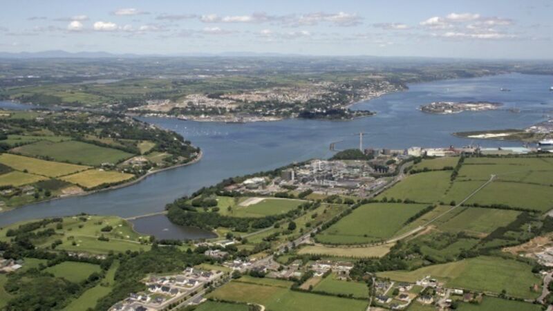 IndicatedBreakwater · 473 yd
 Pier/Jetty in Ardaragh EastPier/Jetty · 664 yd
 Rerrin LoopWalking route · 693 yd
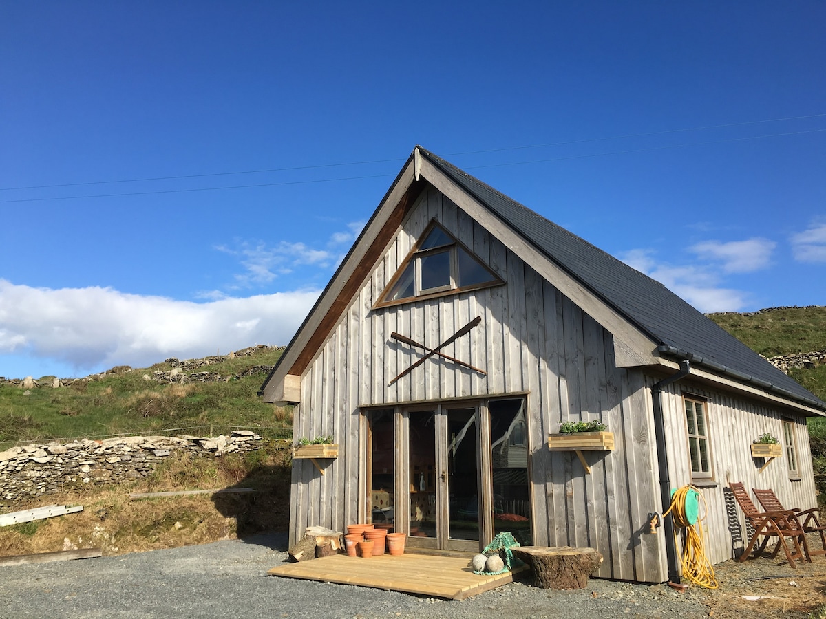 Hut site in Ardaragh EastHut site · 721 yd
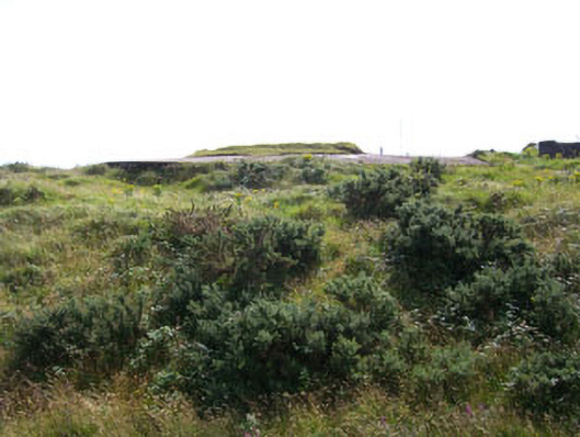 Rerrin Batterybattery · 1019 yd
 Turk IslandIslet · 1659 yd
 Bere IslandIsland · 2.2 mi
 TrawnablahaBeach / strand · 2.5 mi
 Holly HillMountain / peak · 2.9 mi
 KnockanalligMountain / peak · 3.2 mi
 Battle of Bantry BayMajor battlefield · 3.7 mi
 Peakeen Ridge Loop WalkWalking route · 4.2 mi
Other information
Photo: Credit not shown in the picture search · Rights wording not checked; contact us if this picture should be removed