What is recorded here
In undulating pasture, on a low rise. Ground dips gently to E towards a roughly N−S stream/drain.
A rectangular earthen platform (12m E–W; 6m N–S; H 0.6m) abuts the S wall of a ruined rectangular church (MA103-008001-). The N side of the platform is crossed by an E-W field wall, which incorporates the S wall of the church. The platform is defined on the other three sides by a slumped, sod-covered stony scarp (H 0.6m), with a dilapidated break/low area in the centre of the S side. Many low, uninscribed upright stone gravemarkers, some arranged in N−S rows, protrude from the surface of the platform, interspersed with occasional small recumbent slabs.
Compiled by: Jane O’Shaughnessy
Date of upload: 4 October 2022
A rectangular earthen platform adjacent to a ruined church, likely medieval in date; its function as a burial ground suggests a possible ecclesiastical or monastic association.
The monument record does not grant public access. Check the route and ask the landowner before entering private land.
- What survives
- Recorded monument
Places near here
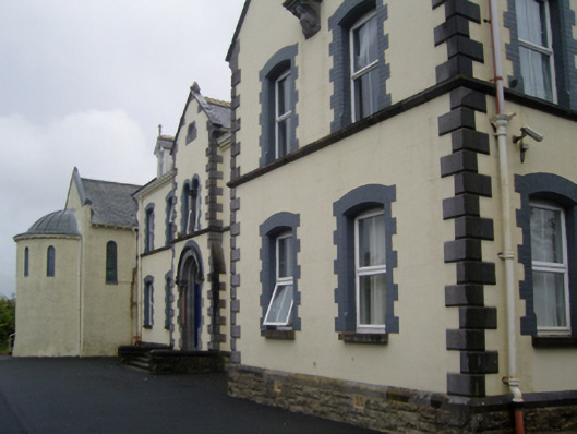 Saint Joseph's Convent of Mercyconvent/nunnery · 1708 yd
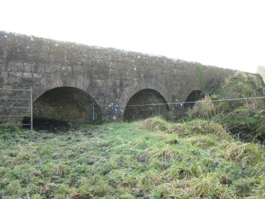 Agloragh Bridgebridge · 1746 yd
 Enclosure in DevlisEnclosure · 1.0 mi
 Cross in Holywell LowerCross · 1.6 mi
 IndicatedCastle, motte · 2.3 mi
 CastleCastle, unclassified · 4.0 mi
 Oak WoodForest · 9.6 mi
 Land of the GiantsHeritage attraction · 10.0 mi
 Geoffrey's WoodForest · 10 mi
 Mass RockNamed rock · 17 mi
 bridgebridge · 1.0 mi
 Ballyhaunis Railway Stationbuilding misc · 1.0 mi