What is recorded here
Just off the summit of a hill which overlooks the Suir river valley on a S-facing slope and surrounded by pasture land. The church (TS084-005----) is located on the N side of an irregularly shaped graveyard (max. dims. 35m N-S; 53m E-W). The graveyard is in a poor state of repair, except on the N side which was rebuilt in 1986. A plaque on this wall commemorates the reconstruction of the church by the local community in 1986. In the graveyard there are three vaults built at the W end in area of the interior.
Compiled by: Jean Farrelly
Date of upload: 26 August 2011
The monument record does not grant public access. Check the route and ask the landowner before entering private land.
- What survives
- Recorded monument
Places near here
 IndicatedHoly well · 220 yd
 Enclosure in BallynarahaEnclosure · 596 yd
 Glen Castle (in ruins)Castle, tower house · 675 yd
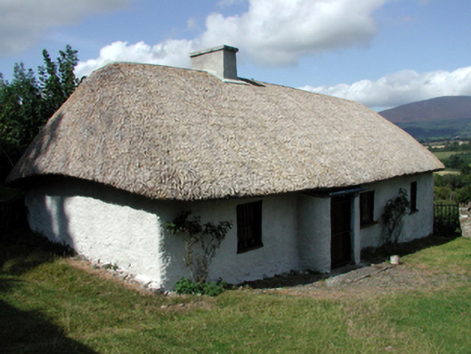 farm housefarm house · 1367 yd
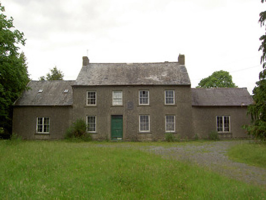 Mauganstown Housecountry house · 1386 yd
 Ballydine Ho.Castle, unclassified · 1623 yd
 Maurice DavinMemorial · 1.2 mi
 Pedunculate OakPedunculate Oak · 1.4 mi
 CarrigcoumMountain / peak · 1.5 mi
 Garden of RenewalNature reserve · 1.8 mi
 CarrigeenseebohillaMountain / peak · 2.6 mi
 Thomas KielyMemorial · 2.9 mi