
What is recorded here
From the National Monuments Service (Archaeological Survey of Ireland) record TS084-005001
Places near here
Photo credits
- Maker not stated on source page, www.dreamstime.com
- Maker not stated on source page, www.alamy.com
- Maker not stated on source page, www.flickr.com
- Maker not stated on source page, www.pinterest.com
- National Inventory of Architectural Heritage
- Maker not stated on source page, commons.wikimedia.org
- kevin higgins, Geograph · CC BY-SA 2.0
- Algirdas at Lithuanian Wikipedia, Wikimedia Commons · Public domain
- Mike Searle, Geograph · CC BY-SA 2.0
- Maker not stated on source page, in.pinterest.com
 Church (in ruins)Church · 4 yd
Explorer Tom Church in Ballynaraha has a curse that only affects people who don’t wave when they walk past, so make sure you’re…
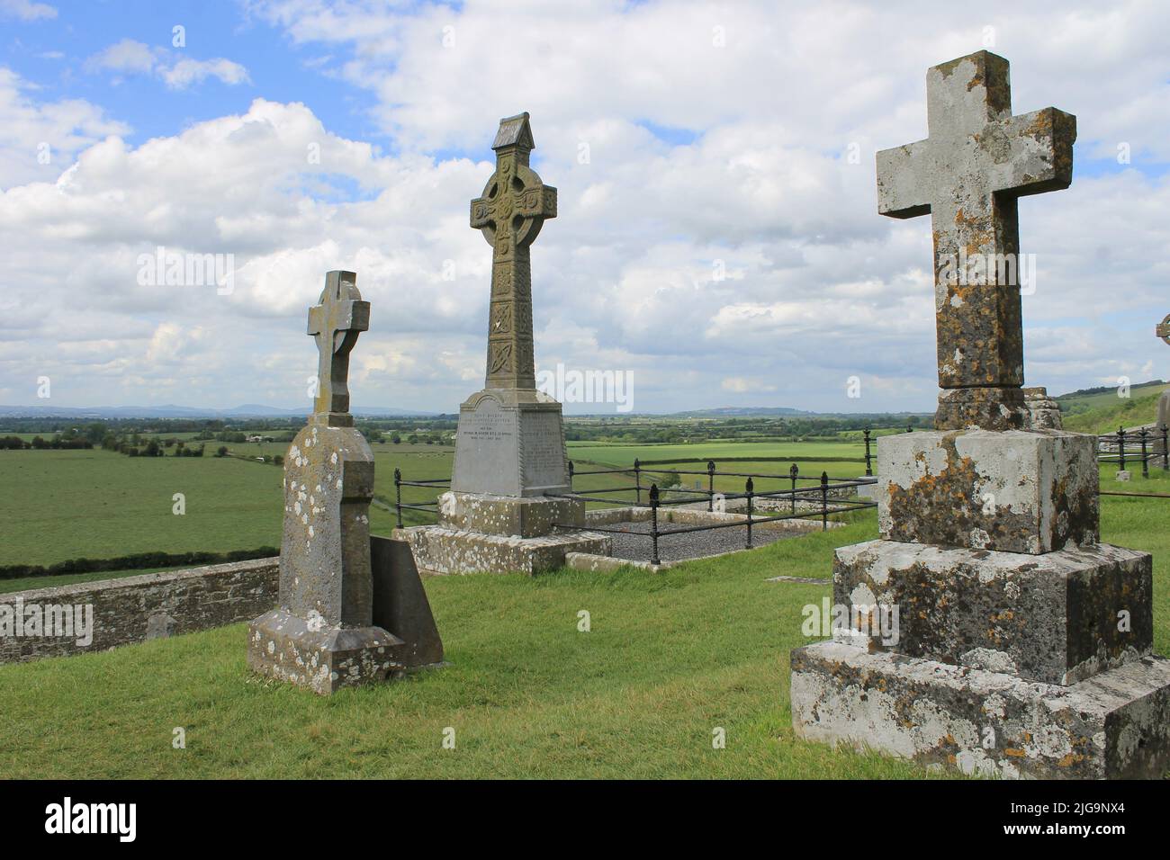 Mapped graveyardGraveyard · 6 yd
Explorer Tom This spot nearly made national news when a tourist mistook a bent fence post for a gargoyle and went viral. It was on…
 Inscribed stone in Glen Lower (upperthird By.)Inscribed stone · 674 yd
Explorer Tom Inscribed stone in Glen Lower is a datestone that refuses to admit it’s been part of a wall for centuries, acting like…
 Fairy fort / earthen ringfort in Glen Upper (upperthird By.)Fairy fort / earthen ringfort · 1355 yd
Explorer Tom Fairy fort in Glen Upper is hiding a treasure that is definitely just an old biscuit tin full of rusty nails and…
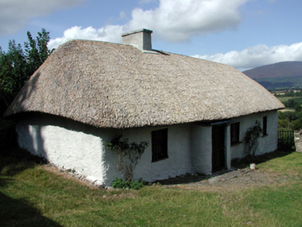 farm house1367 yd
Explorer Tom The farm house in Glen Lower is built perpendicular to the road because someone had a bad idea about windbreaks and…
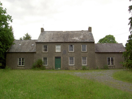 Mauganstown HouseCountry house · 1386 yd
Explorer Tom Mauganstown House would explain the 1800s to a teenager by saying, 'It was all very confusing and everyone wore weird…
 Earthwork in Ballydine (kilmurry Par.)Earthwork · 1551 yd
Explorer Tom Earthwork in Ballydine is basically a giant tea stain that someone forgot to wipe away. I reckon it took forty cups of…
 Castle (in ruins)Castle, tower house · 1.2 mi
Explorer Tom Poulakerry Castle is having a massive feud with the next village over something involving a cow or a deed, I’m not sure…
 Churchtown GraveyardGraveyard · 1.3 mi
Explorer Tom Churchtown Graveyard has very strong opinions on modern buildings, mostly that they’re too flash for their own good.…
 Pedunculate Oak1.4 mi
Explorer Tom Pedunculate Oak in County Waterford was skipped by the bishop because he couldn’t find his reading glasses and didn’t…
 Ballyclohy Castle (in ruins)Castle, tower house · 1.6 mi
Explorer Tom Ballyclohy Castle thinks Dublin tourists are all talk and no walk, which is annoyingly true. This round tower has been…
 Kilsheelan bridgeVisitor information · 1.9 mi
Explorer Tom Kilsheelan bridge is proud of the fact that it hasn’t collapsed since 1750 or something. It’s basically a giant stone…
More archaeology and monuments in County Tipperary · All of County Tipperary

What do you know about this place?Tap to add a comment or ask a question