What is recorded here
Places near here
Photo credits
- Maker not stated on source page, www.irelandhighlights.com
- Maker not stated on source page, au.pinterest.com
- Maker not stated on source page, visionsofthepastblog.com
- N Chadwick, Geograph · CC BY-SA 2.0
- D Gore, Wikimedia Commons · CC BY-SA 2.0
- Maker not stated on source page, ru.pinterest.com
- Tyrone GAA; photographer not stated, tyronegaa.ie
- Kenneth Allen / Geograph via Wikimedia Commons, commons.wikimedia.org
- Stefan C. Kremer, Wikimedia Commons · CC BY-SA 3.0
- Kenneth Allen, Geograph · CC BY-SA 2.0
- National Inventory of Architectural Heritage
- Oliver Dixon, Geograph · CC BY-SA 2.0
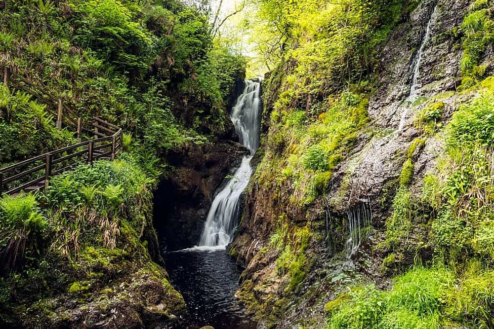 Altnaponer ForestForest · 723 yd
Explorer Tom Altnaponer Forest has been hiding a massive scandal involving three earls and a lost hat for centuries. Nobody checks…
 Standing Stone in CarrickawickStanding Stone · 1.2 mi
Explorer Tom Standing Stone in Carrickawick is the ultimate nosey neighbour, just standing there watching you trip over your own…
 Standing stone: cloghavuska in CarrickawickStanding Stone: Cloghavuska · 1.5 mi
Explorer Tom Cloghavuska in Carrickawick is just waiting for someone to tell it a terrible joke about its own name. Apparently, a…
 Mount DarbyMountain / peak · 4.0 mi
Explorer Tom Mount Darby in County Fermanagh would struggle on a reality show because it refuses to change its outfit, which is…
 GolanRuins · 4.9 mi
Explorer Tom Golan here is the guy at the wedding who shows up late, wears the wrong hat, and stands in the corner looking confused.…
 Mapped cemeteryCemetery · 5.3 mi
Explorer Tom "Mapped cemetery ended up in the wrong place because a cartographer got drunk on whiskey and drew the boundary line…
 Garvaghey Centre, Tyrone GAA Garvaghey CentreGAA ground · 16 mi
 Cardinal MacRory ParkGAA ground · 19 mi
 CastlecaufieldCastle · 24 mi
Explorer Tom Castlecaufield came this close to making the news but got shy and hid behind some hedgerows. It’s got that look of a…
 C17th house & bawn, possibly on site of earlier fort: castle caulfield in Lisnamonaghan, CastlecaufieldC17th house & bawn, possibly on site of earlier fort: castle caulfield · 24 mi
Explorer Tom C17th house & bawn, Possibly on site of earlier fort: castle caulfield in Lisnamonaghan thinks it's better than the…
 farmyard complex25 mi
Explorer Tom Farmyard complex in Lisnadarragh is all whitewashed walls and strong colours, looking as fresh out of the oven as the…
 Bush IslandIslet · 26 mi
Explorer Tom Bush Island would survive a zombie attack by just being too small for them to bother with. It’s basically an…
More woods, forests and old trees in County Fermanagh · All of County Fermanagh

What do you know about this place?Tap to add a comment or ask a question