
What is recorded here
From the Northern Ireland Sites and Monuments Record record FER231:051
Places near here
Photo credits
- Maker not stated on source page, visionsofthepastblog.com
- Maker not stated on source page, www.irelandhighlights.com
- Maker not stated on source page, www.flickr.com
- Maker not stated on source page, www.alamy.com
- D Gore, Wikimedia Commons · CC BY-SA 2.0
- Maker not stated on source page, ru.pinterest.com
- Maker not stated on source page, www.pinterest.com
- National Inventory of Architectural Heritage
- Tyrone GAA; photographer not stated, tyronegaa.ie
- Kenneth Allen / Geograph via Wikimedia Commons, commons.wikimedia.org
- Oliver Dixon, Geograph · CC BY-SA 2.0
- Maker not stated on source page, www.rootsireland.ie
 Standing stone: cloghavuska in CarrickawickStanding Stone: Cloghavuska · 1138 yd
Explorer Tom Cloghavuska in Carrickawick is just waiting for someone to tell it a terrible joke about its own name. Apparently, a…
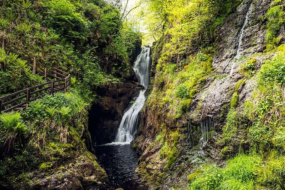 Altnaponer ForestForest · 1.3 mi
Explorer Tom Altnaponer Forest has been hiding a massive scandal involving three earls and a lost hat for centuries. Nobody checks…
 Three standing stones possibly megalithic tomb or stone circle in EshbralleyThree Standing Stones possibly Megalithic Tomb or Stone Circle · 2.1 mi
Explorer Tom Three standing stones in Eshbralley are debating if they’re a tomb or a circle. They can’t make up their minds. Stand…
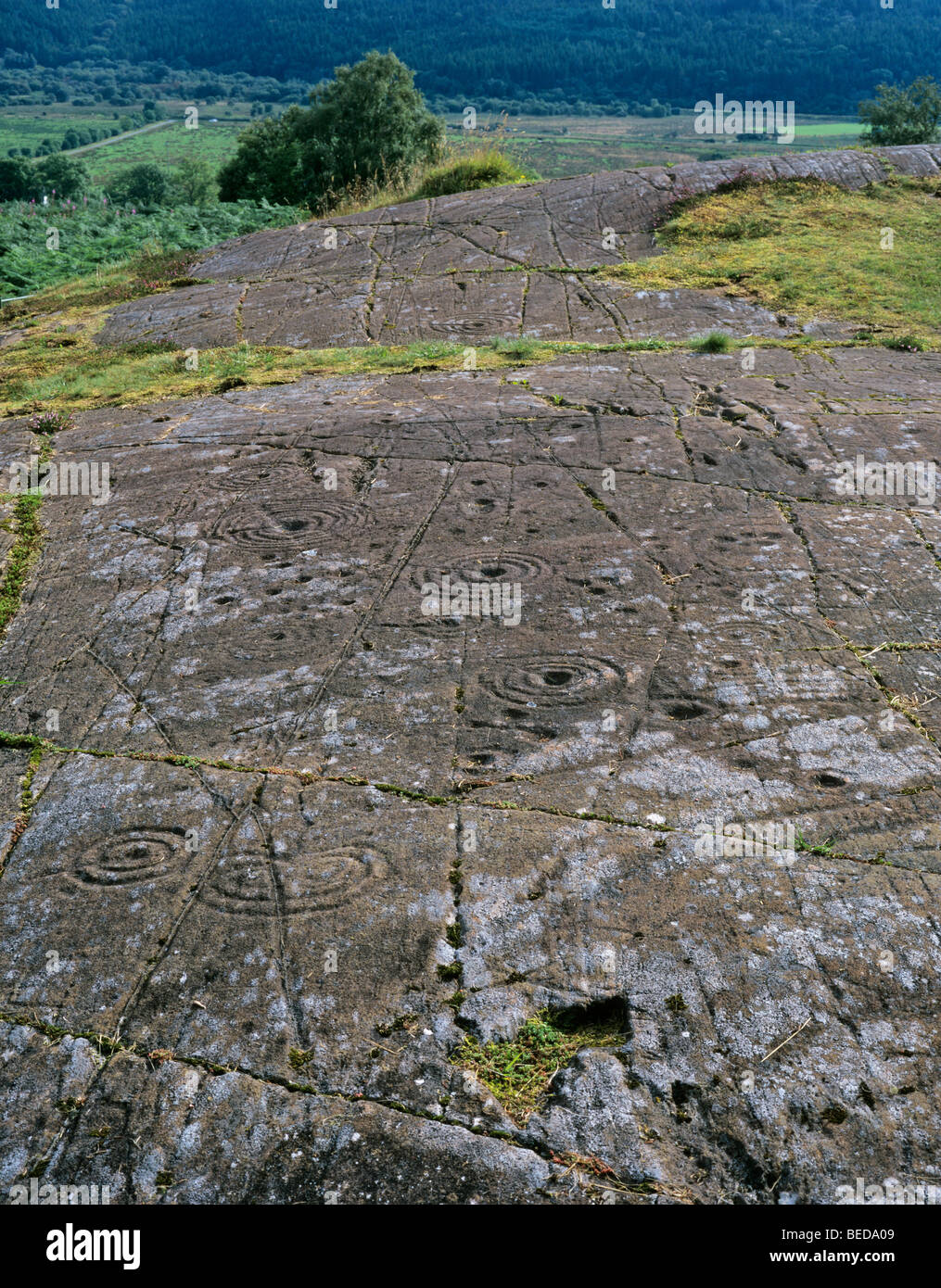 Cup-&-ring-marked stone in EshbralleyCup-&-ring-marked Stone · 2.2 mi
Explorer Tom This cup-and-ring stone in Eshbralley has seen thousands of faces but hates tourists with flip-flops the most of all.…
 GolanRuins · 3.9 mi
Explorer Tom Golan here is the guy at the wedding who shows up late, wears the wrong hat, and stands in the corner looking confused.…
 Mapped cemeteryCemetery · 4.1 mi
Explorer Tom "Mapped cemetery ended up in the wrong place because a cartographer got drunk on whiskey and drew the boundary line…
 Donagh Graveyard (Old)Cemetery · 4.7 mi
Explorer Tom "Donagh Graveyard (Old) is the only place in Fermanagh that could survive a full zombie apocalypse because everyone’s…
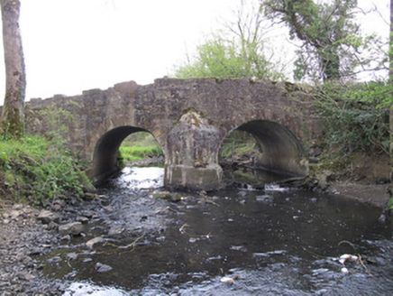 Priests BridgeBridge · 6.2 mi
Explorer Tom Priests Bridge in Burdautien sits right on the border between two jurisdictions, which is a fancy way of saying it’s…
 Garvaghey Centre, Tyrone GAA Garvaghey CentreGAA ground · 17 mi
 Cardinal MacRory ParkGAA ground · 20 mi
 Bush IslandIslet · 26 mi
Explorer Tom Bush Island would survive a zombie attack by just being too small for them to bother with. It’s basically an…
 CastleCastle, unclassified · 26 mi
Explorer Tom Castle in Lisdrumskea has strict rules for visitors: don’t touch anything, because there isn’t anything to touch…
More archaeology and monuments in County Fermanagh · All of County Fermanagh

What do you know about this place?Tap to add a comment or ask a question