What is recorded here
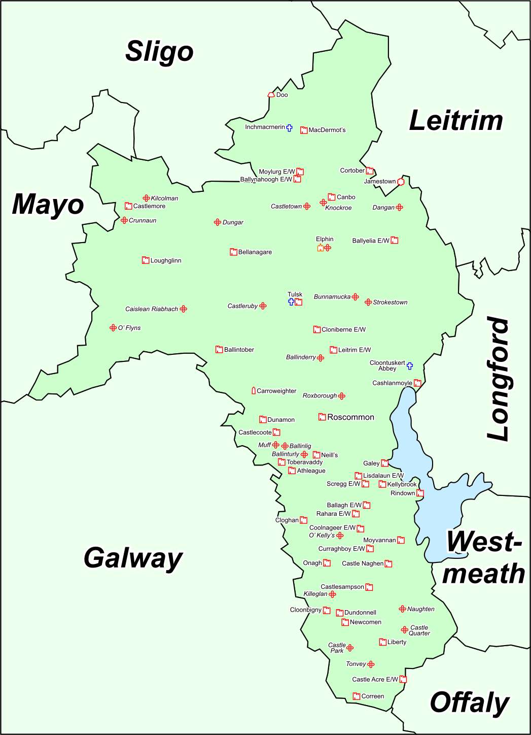
Bunnamucka Castle vanished before human memory, leaving only a U-shaped mark on an 1837 map and a low ridge in County Roscommon. It may have been a farmhouse, a fortress or a mistake, but the name refuses to release it. Thirty metres east, an old earthwork still stands witness to the forgotten shape.
Marked as a U-shaped building called Bunnamucka Castle on the SE side of a NE-SW laneway on the 1837 ed. of the OS 6-inch map. Situated on the crest of a low ridge. There is no other information and no feature is visible at ground level in a farmyard. Rath (RO023-160----) is c. 30m to the E.
Compiled by: Michael Moore
Date of upload: 24 August 2010
The monument record does not grant public access. Check the route and ask the landowner before entering private land.
- What survives
- Recorded monument
Places near here
 IndicatedFairy fort / earthen ringfort · 533 yd
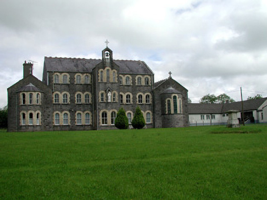 Convent of Mercyconvent/nunnery · 1135 yd
 Saint John's Church (Bumlin)church/chapel · 1315 yd
 Sweet ChestnutSweet Chestnut · 1.0 mi
 Pedunculate OakPedunculate Oak · 1.1 mi
 Strokestown House GardensHeritage attraction · 1.3 mi
 Strokestown ParkHeritage attraction · 1.5 mi
 CastleCastle, unclassified · 2.0 mi
 Leitrim CastleCastle, unclassified · 4.8 mi
 Slieve BawnMountain / peak · 5.0 mi
 War of Independence Commemorative Military MemorialMemorial · 5.4 mi