What is recorded here
Indicated is a fairy fort or earthen ringfort in Bunnamucka, County Roscommon, Ireland. It occupies a gentle east-facing slope where a circular grass and rush-covered area measures thirty-seven and a half metres east-west and thirty-four point seven metres north-south. An overgrown earthen bank and partial fosse define the boundary, while modernised entrances appear at the northwest and southeast. A rath lies two hundred and ten metres west-northwest and a castle sits thirty metres west.
On a gentle E-facing slope. Circular grass and rush-covered area (diam. 37.5m E-W; 34.7m N-S) defined by an overgrown earthen bank (Wth 3-4m; int. H 0.1-0.4m; ext. H 0.9-1.1m), and a fosse (Wth of top 3.5-4.1m; Wth of base 2.2-2.9m; D 0.3-0.4m) NNE-E-SW. There are modernised entrances at NW (Wth 4m) and SE (Wth 4m), and the fosse is curtailed by an NE-SW road bank at N and skirted by an E-W field bank at S. Rath (RO023-158----) is c. 210m to the WNW and the castle (RO023-159----) is c. 30m to the W.
Compiled by: Michael Moore
Date of upload: 24 August 2010
The monument record does not grant public access. Check the route and ask the landowner before entering private land.
- What survives
- Recorded monument
Places near here
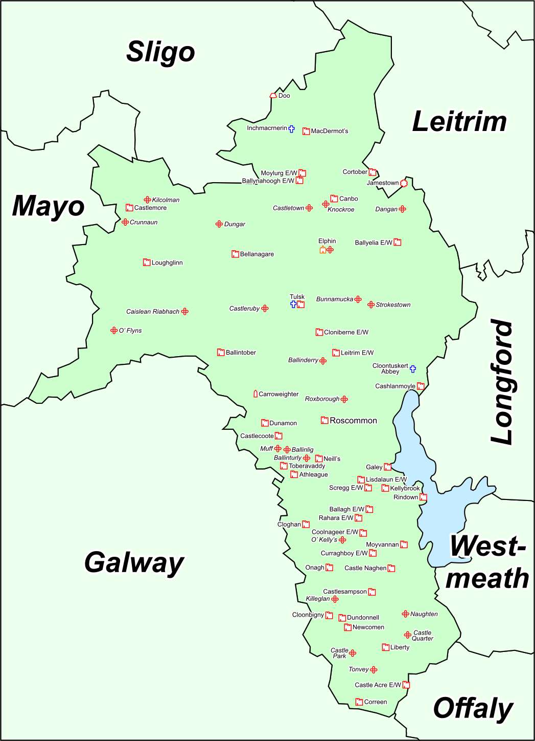 IndicatedFairy fort / earthen ringfort · 624 yd
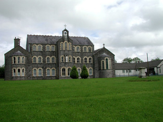 Convent of Mercyconvent/nunnery · 1074 yd
 Saint John's Church (Bumlin)church/chapel · 1251 yd
 Sweet ChestnutSweet Chestnut · 1745 yd
 Pedunculate OakPedunculate Oak · 1.0 mi
 Strokestown House GardensHeritage attraction · 1.3 mi
 Strokestown ParkHeritage attraction · 1.5 mi
 CastleCastle, unclassified · 2.0 mi
 Leitrim CastleCastle, unclassified · 4.9 mi
 Slieve BawnMountain / peak · 4.9 mi
 War of Independence Commemorative Military MemorialMemorial · 5.4 mi