What is recorded here
Situated on a slight rise in an area of undulating countryside with good views. Poorly preserved ruins of a rectangular church (OF024-022001-). Bullaun stone (OF024-022002-) located at W end of church. No surface trace of earthworks (OF024-022003-) depicted on OS 6-inch map to E and S of church. According to Comerford (1883, 196-7) there was a burial ground (OF024-022005-) located here which was abandoned in the mid-19th-century and was used subsequently as a burial place for unbaptised children (OF024-022006-) with castle (OF024-055) located nearby. No surface trace of any burial ground or castle survives.
The above description is derived from the published 'Archaeological Inventory of County Offaly' (Dublin: Stationery Office, 1997). In certain instances the entries have been revised and updated in the light of recent research.
Date of upload: 23 May 2011
Likely dating to the early medieval period, the bullaun stone was probably used for the ritual purification of baptismal water. Such stones are often associated with early Christian sites and may have had both religious and symbolic significance in local tradition.
The monument record does not grant public access. Check the route and ask the landowner before entering private land.
- What survives
- Recorded monument
Places near here
 Killurin Church (in Ruins)Church · 6 yd
 Enclosure in KillurinEnclosure · 217 yd
 Ross WoodWood · 1101 yd
 Mahon's WoodWood · 1461 yd
 Burial ground in HollimshillBurial ground · 1.4 mi
 Mullagh HillMountain / peak · 1.6 mi
 Mountpleasant Ho. in ruinsHouse, fortified house · 1.6 mi
 Sugar HillMountain / peak · 1.6 mi
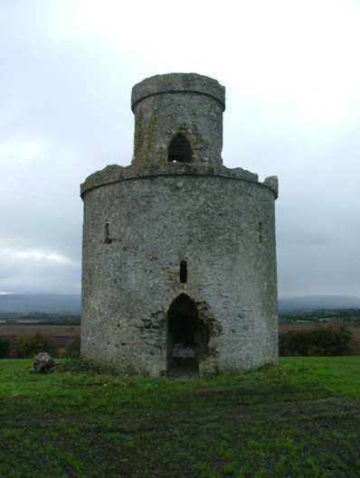 Mullagh Housefolly · 1.7 mi
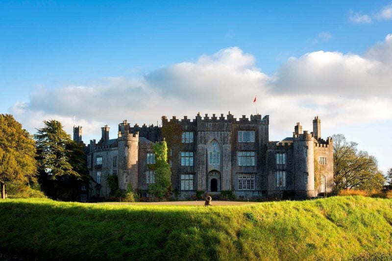 CastleCastle, unclassified · 1.8 mi
 Ardnagross WellSpring · 2.1 mi
 Graveyard in PallasGraveyard · 2.3 mi