What is recorded here
Situated at NW edge of 'St Patrick's Well' (CV037-017001-). Small irregularly shaped boulder (max. dim. 0.3m) with a shallow bullaun (Wth 0.15m) at its centre.
The above description is derived from the published 'Archaeological Inventory of County Cavan' (Dublin: Stationery Office, 1995). In certain instances the entries have been revised and updated in the light of recent research.
Date of upload/revision: 22 December 2008
The monument record does not grant public access. Check the route and ask the landowner before entering private land.
- What survives
- Recorded monument
Places near here
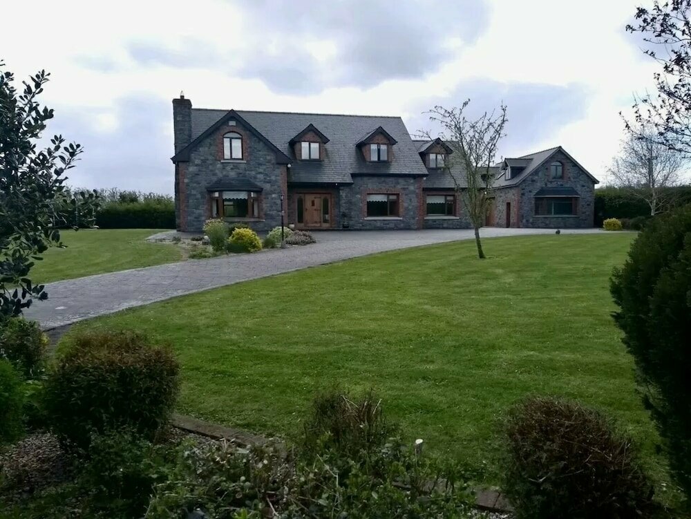 Carnagh LowerMountain / peak · 440 yd
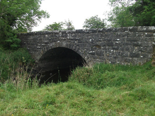 Kilsaran Bridgebridge · 763 yd
 Enclosure in Carnagh UpperEnclosure · 1251 yd
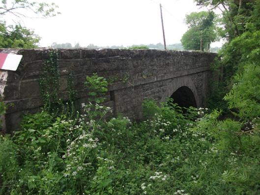 bridgebridge · 1.0 mi
 DrumhawnaghMountain / peak · 1.1 mi
 CaveMan-made underground passage · 1.4 mi
 IdicatedCastle, unclassified · 1.8 mi
 Cornamucklagh WoodlandWood · 2.3 mi
 Scrabby IslandIslet · 3.1 mi
 Oghill Bog WoodWood · 3.1 mi
 Cloone Ho.Castle, unclassified · 3.3 mi
 Red IslandIslet · 4.0 mi