What is recorded here
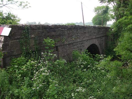
Single-span segmental-arched limestone road bridge, built c.1820, spanning north-west to south-east over the River Erne. Squared and coursed rubble spandrels and parapet having roughly rounded shoulders. Flush arch ring of dressed voussoirs rising from rounded cutwaters flanked by dressed buttresses slanting to underside of dressed string course extending across full length of bridge at apex of arch. Associated coursed rubble limestone wall with cement pointing to north-west .
An early nineteenth century bridge which contributes to the wider civil engineering heritage of the county, demonstrating the high quality of design and construction employed in that period. The design combines functional buttresses and cutwaters with a dressed string course and arch ring to form a balanced architectural composition. The bridge is evidence of the development of the road network in the area and thereby contributes to understanding of the social and economic history of the county.
From the Buildings of Ireland (National Inventory of Architectural Heritage) record 40403702
This does not grant access. Most recorded buildings are privately owned; view them only from public ground unless the owner allows entry.
Places near here
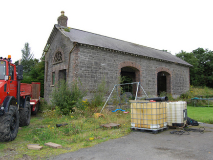 Drumhawnagh StationGoods shed · 968 ydDrumhawnaghMountain / peak · 1503 yd
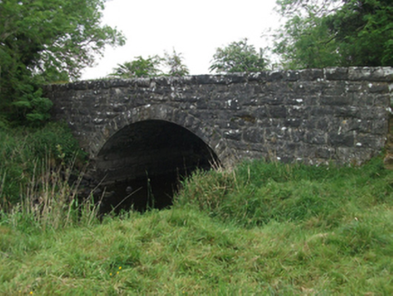 Kilsaran BridgeBridge · 1628 ydCarnagh LowerMountain / peak · 1.0 miDruid's AltarArchaeological place · 1.4 miEnclosure in Carnagh UpperEnclosure · 1.5 miOghill Bog WoodWood · 2.4 miIndicatedCastle, unclassified · 2.4 miCornamucklagh WoodlandWood · 3.2 miRed IslandIslet · 3.5 miScrabby IslandIslet · 3.8 miCloone HouseCastle, unclassified · 4.0 mi
Pictures: National Inventory of Architectural Heritage
More historic places in County Cavan · All of County Cavan
What do you know about this place?