What is recorded here
Yes. There is no way around that. I must use the owner and the new facts. I am not inventving a claim that you do not own.
The following description is derived from the published 'Archaeological Inventory of County Carlow' (Dublin: Stationery Office, 1993). In certain instances the entries have been revised and updated in the light of recent research.
Date of upload/revision: 17 July 2007
Earthfast boulder with deep cavity (diam. 0.3m; D c. 0.75m). Situated to S of graveyard with church foundations (CW008-017001-).
The monument record does not grant public access. Check the route and ask the landowner before entering private land.
- What survives
- Recorded monument
Places near here
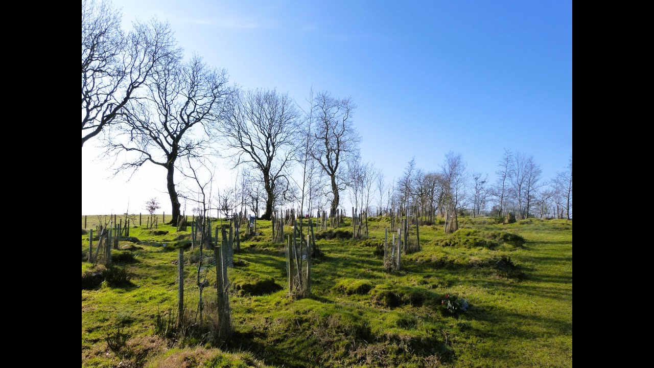 Burial GroundChurch · 13 yd
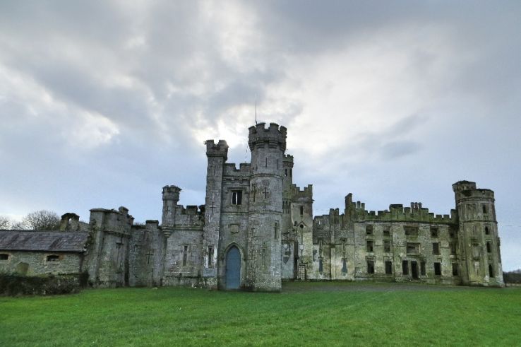 Enclosure in BusherstownEnclosure · 115 yd
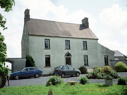 Busherstown Housefarm house · 392 yd
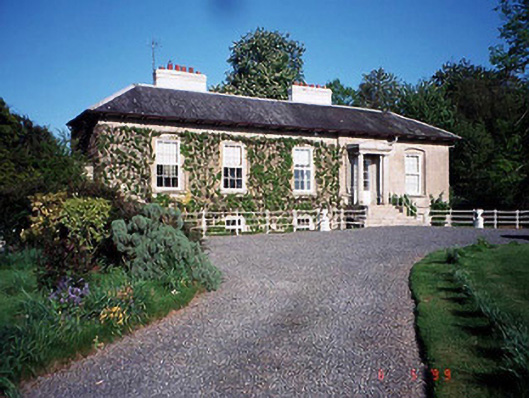 Bennekerry Lodgehouse · 1212 yd
 Graigue Castle in ruinsCastle, unclassified · 1442 yd
 Site of CastleCastle, unclassified · 1615 yd
 Brownshill Portal TombVisitor information · 1.5 mi
 Cork oakCork oak · 2.4 mi
 European YewEuropean Yew · 2.4 mi
 Carlow County MuseumMuseum · 3.5 mi
 Kilmurry Church (in ruins), GraveyardChurch · 3.5 mi
 Church (in ruins), GraveyardChurch · 4.6 mi