What is recorded here
Not shown on 1842 and 1901 OS 6-inch maps; marked on 1938 OS 6-inch map just inside field fence to W of road and close to S bank of River Lee. Relocated across road in Macloneigh graveyard (CO071-082001-) prior to flooding of Lee Valley Hydro-electric Scheme. Irregular stone (H 0.34m; 1.1m x 0.7m) with upper surface of two irregular planes; circular hollow (0.31m x 0.29m; D 0.16m) on steeply sloping plane. Recorded by Fahy (1957b, 75) prior to relocation, who also noted smaller hollow on level plane measuring '....6ins in diameter and 11/2ins deep'.
The above description is derived from the published 'Archaeological Inventory of County Cork. Volume 3: Mid Cork' (Dublin: Stationery Office, 1997). In certain instances the entries have been revised and updated in the light of recent research.
Date of upload/revision: 14 January 2009
Likely dating to the Bronze Age, the stone may have had ritual or territorial significance, given its original positioning near the River Lee. Its relocation to a graveyard suggests later folkloric or commemorative use, though specific meaning remains unrecorded.
The monument record does not grant public access. Check the route and ask the landowner before entering private land.
- What survives
- Recorded monument
Places near here
 Grave YardGraveyard · 78 yd
 Coolcour Housecountry house · 1020 yd
 St Bernards WellHoly well · 1227 yd
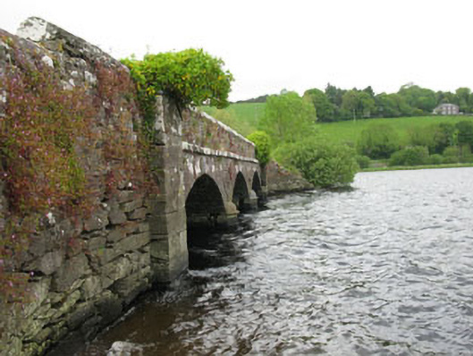 Annahala Bridgebridge · 1423 yd
 Sessile OakSessile Oak · 1426 yd
 Battle of Macroombattle · 1.0 mi
 Macroom Castle (in Ruins)Castle, tower house · 1.1 mi
 Macroom WalksVisitor information · 1.2 mi
 Mashanaglass Castle (in Ruins)Castle, tower house · 1.8 mi
 Ummera WoodWood · 1.8 mi
 Priest MemorialMemorial · 4.1 mi
 Clonavrick CliffCliff · 4.2 mi