DDiscover AloneMapAbout

Building misc in Moyle

Building misc
Building misc in Moyle
Photo: National Inventory of Architectural Heritage · Report the wrong picture

What is recorded here

Freestanding single-bay two-storey former railway water tower associated with Newtowncunningham Railway Station (see 40824014), built c. 1883, having rendered platform over surmounted by timber-clad metal water tank. Now disused (railway line closed in 1953). Water piper and metal ladder to the east elevation.…

Read the whole record
Freestanding single-bay two-storey former railway water tower associated with Newtowncunningham Railway Station (see 40824014), built c. 1883, having rendered platform over surmounted by timber-clad metal water tank. Now disused (railway line closed in 1953). Water piper and metal ladder to the east elevation. Randomly coursed rubble stone walls with red brick block-and-start quoins to the corners. Red brick plinth to base. Square-headed window opening to the east elevation having red brick block-and-start surrounds and voussoirs, stone sill, and remains of three-over-three pane timber sliding sash window. Square-headed door opening with red brick block-and-start surround and voussoirs; door now missing. Built on the edge of the former railway line running north to south with grass covered platform to south. Located to the north-west of the former Newtowncunningham Railway Station (see 40824013), and to the north-west of Newtowncunningham.
This former water tower was originally built to serve the former Newtowncunningham Railway Station (see 40824013) to the south-east. It retains its early form and character despite being out of use for a considerable period of time following the closure of the railway line in 1953. It represents an interesting historical reminder of the great age of stream railways from the mid-nineteenth century to the mid-twentieth century, and it would have been used to replenish the water tanks of stream engines. It is robustly constructed using local rubble stone masonry while the red brick block-and-start surrounds to the corners and to the openings contrasts attractively with the grey dimension stone, and helps give this building a robust presence for such a small-scale and unassuming building. This water tower and associated railway station was originally built as part of the Londonderry\Derry (Middle Quay) to Burtonport line, which was originally contrived by the Londonderry & Lough Swilly Railway Company. This section, Burt Junction to Letterkenny, was opened in June 1883 by the Letterkenny Railway Company; the Letterkenny to Burtonport section was opened later in March 1903 by the Letterkenny & Burtonport Extension Railway Company. This section of line (Burt Junction to Letterkenny) closed completely in 1953. This line was built to the 3ft narrow gauge. It forms a pair of related structures with the associated with the railway station, and a wider group associated with this former narrow gauge railway line in Inishowen. This former railway water tower is an integral element of the built heritage and transport history of the Newtowncunningham area, adding historic appeal to the north-west of the village.

From the Buildings of Ireland (National Inventory of Architectural Heritage) record 40824014

This does not grant access. Most recorded buildings are privately owned; view them only from public ground unless the owner allows entry.

What do you know about this place?Tap to add a comment or ask a question

What you write will be public.

Places near here

Photo credits
  • National Inventory of Architectural Heritage
  • Kenneth Allen, Geograph · CC BY-SA 2.0
  • Joe Boland / North West News Pix, via Donegal Daily, www.donegaldaily.com
  • Kenneth Allen, Geograph · Creative Commons Attribution-ShareAlike 2.0
  • David Dixon, Geograph · Creative Commons Attribution-ShareAlike 2.0
  • M'Loughlin, Peter, Wikimedia Commons
  • Kenneth Allen, Wikimedia Commons · CC BY-SA 2.0
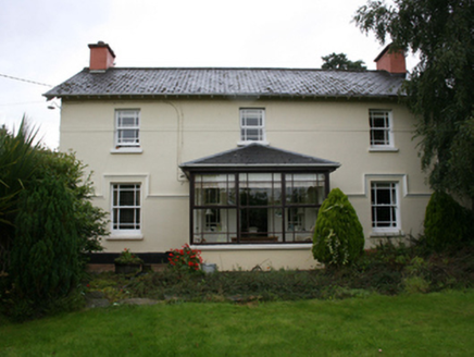
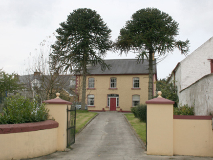
railway station67 yd

Explorer Tom Railway station in Moyle is still waiting for the hero who saved it back in '83, but he probably took a left turn and…
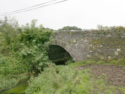
bridge164 yd

Explorer Tom Bridge in Glar is wearing its heavily overgrown eastern verge like a giant, itchy woolly scarf. I picture the grass…
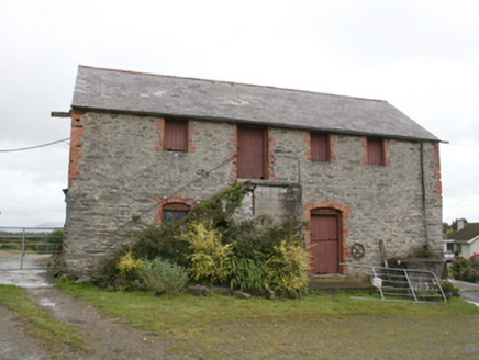
farm house, outbuilding548 yd

Explorer Tom Farm house, Outbuilding in Moylemoss has a door that refuses to be on the ground floor! Built around 1860, you have to…

Coyles barPub · 757 yd

Explorer Tom Coyles bar in County Donegal is probably hiding a secret stash of old pints behind the tap. I bet they serve a stout…
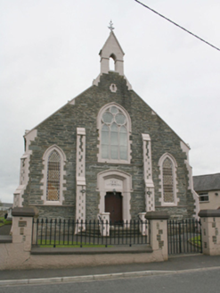
Newtowncunningham Presbyterian ChurchChurch/chapel · 767 yd

Explorer Tom Newtowncunningham Presbyterian Church is the kind of place that brings its own dramatic lighting to any party. It’s got…

Páirc Cholm Cille, Naomh Colmcille GAA, NewtowncunninghamGAA ground · 901 ydfarm house1123 yd

Explorer Tom Farm house in Ardee is suspicious of the postman because he always leaves the letter on the porch without knocking.…

All Saints Catholic ChurchChurch/chapel · 1539 yd

Explorer Tom All Saints Catholic Church in Colehill had a fake royal visit where the Queen was actually just a very confident auntie…
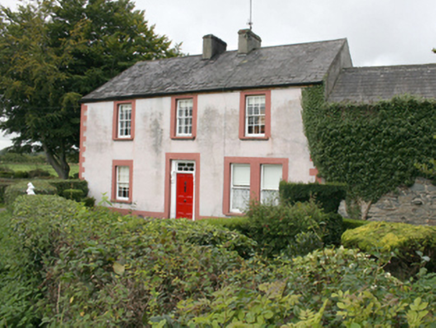
Blanket NookFarm house, house · 1571 yd

Explorer Tom Blanket Nook in Newtowncunningham claims to be older than your gran’s gran, but I’m pretty sure it just moved in last…

All Saints Church of Ireland ChurchChurch/chapel · 1.0 mi

Explorer Tom All Saints Church of Ireland Church has a marble memorial carved by Richard Kelly of Dublin! I imagine him packing his…

O'Doherty's CastleRuins · 1.9 mi

Explorer Tom O'Doherty's Castle near Burt is the one that can make a confident guide point towards Buncrana and get the wrong ruin…

Burt CastleCastle, tower house · 1.9 mi

Explorer Tom Burt Castle's roofless keep still stands on the hill, with two round corner towers and rows of gun-loops. The old…

More historic places in County Donegal · All of County Donegal

Add to this placeAdd a picture Add a detailed tip Add a story

Explore the map1,095,414 places to discover

Next place · or swiperailway station