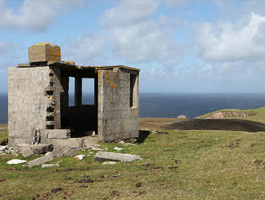
What is recorded here
Freestanding single-bay single-storey flat-roofed lookout post ["LOP"], between 1939-42, on an elongated half-octagonal plan. Now in ruins. Remains of flat reinforced concrete roof with mass concrete central chimney stack. Rendered or fine roughcast mass- or reinforced concrete block walls. Square-headed window openings with no fittings surviving. Set in unkempt grounds on headland.
A lookout post ["LOP 62"] erected during "The Emergency" (1939-46) to a standardised design signed by William Henry Howard Cooke (1881-1977) of the Office of Public Works (established 1831) representing an important component of the mid twentieth-century built heritage of Contae Mhaigh Eo [north County Mayo] (cf. 31300101; 31300706; 31300801; 31305303; 31307501; 31308503). NOTE: A so-called "Éire Marking" survives nearby (coordinates 469659,840897).
This does not grant access. Most recorded buildings are privately owned; view them only from public ground unless the owner allows entry.
Places near here
 Carraig na gColmIslet · 572 yd
 Oileán DhabhaicIslet · 868 yd
 Ceann IorraisHeadland · 1017 yd
 Promontory fortPromontory fort, coastal · 1.6 mi
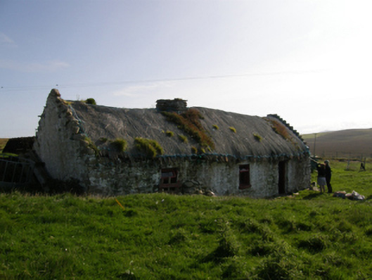 farm housefarm house · 2.1 mi
 IndicatedPromontory fort, coastal · 3.3 mi
 Aghaglasheen Signal TowerRuins · 3.4 mi
 Cuan an InbhirBay · 3.6 mi
 Burkes Castle (Site of)Castle, unclassified · 3.9 mi
 Dún na mBó BlowholeHeritage attraction · 3.9 mi
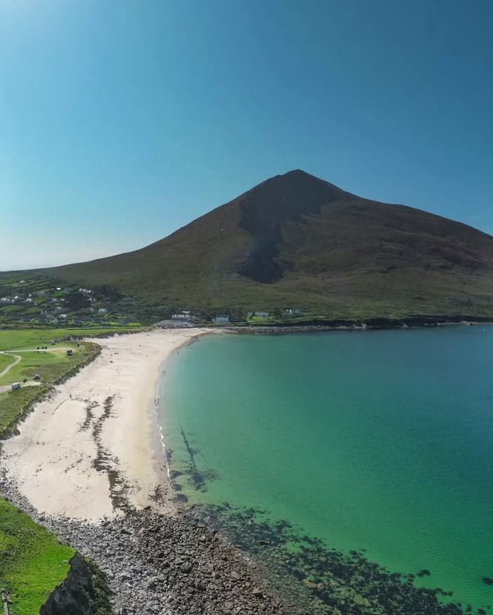 Portnacully BeachBeach / strand · 4.2 mi
 Bawn in Tearmann CaithreachBawn · 4.3 mi
Other information
Photo: National Inventory of Architectural Heritage · Website use allowed for educational or private purposes with source credit