What is recorded here
From the National Monuments Service (Archaeological Survey of Ireland) record DU011-083
Places near here
Photo credits
- National Inventory of Architectural Heritage
- Golfing in Ireland; photographer not stated, Source publisher
- Maker not stated on source page, jp.pinterest.com
- Maker not stated on source page, blogs.stthomas.edu
- Maker not stated on source page, en.wikipedia.org
- Maker not stated on source page, www.alamy.com
- Maker not stated on source page, ca.pinterest.com
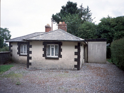 Rathbeale HallGate lodge · 621 yd
Explorer Tom Rathbeale Hall gate lodge claims it’s actually from the time of Queen Victoria, which is a lie because it was built in…
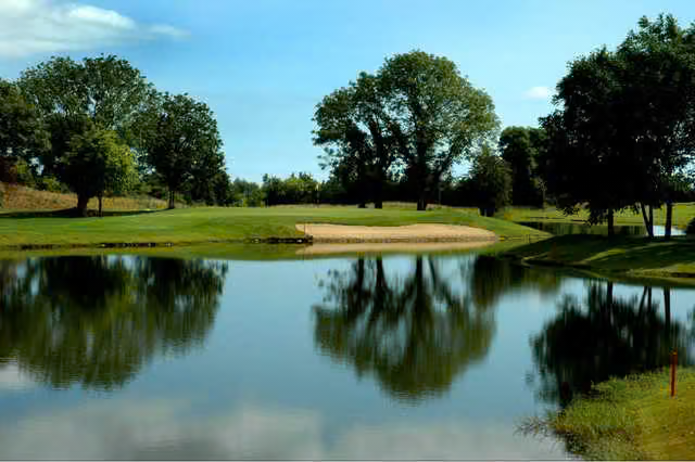 Roganstown Golf ClubGolf course · 987 yd
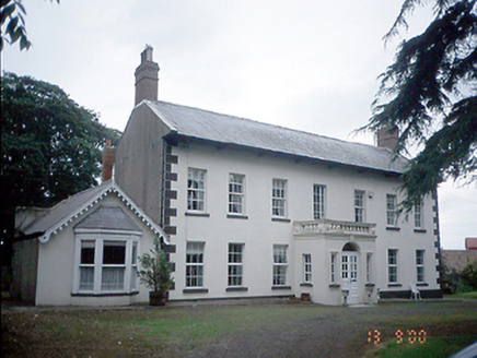 Roganstown HouseFarm house · 989 yd
Explorer Tom Roganstown House has a curse that only affects people who don’t wave at it as they drive past, turning their hair blue…
 Roganstown BridgeBridge · 1067 yd
Explorer Tom Roganstown Bridge has four arches and one dry one, which is basically five arches if you squint and believe in magic.…
 Holy well in Finglas East,finglas WestHoly well · 1477 yd
Explorer Tom Holy well in Finglas East, Finglas West is mentioned by Dr. Rutty but hasn't been found yet, which means it's probably…
Holy well in ShrubsHoly well · 1477 ydExplorer Tom Holy well in Shrubs was near a house that no longer exists, and the area is now built over completely. You can’t see it…
 Church in Kilmore Big,kilmore LittleChurch · 1477 yd
Explorer Tom Church in Kilmore Big, Kilmore Little is a complete mystery to me. The Civil Survey mentioned ruined walls, and some…
 Earthwork in RathbealEarthwork · 1561 yd
Explorer Tom Earthwork in Rathbeal would review its own visitors by saying they are all too loud and that James II definitely did…
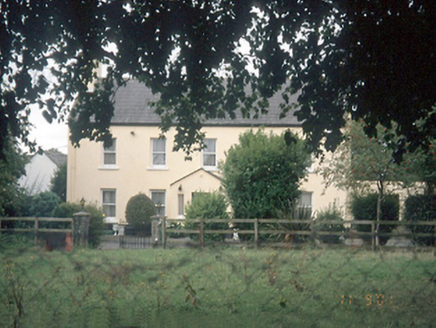 Leas HouseFarm house · 1715 yd
Explorer Tom Leas House is a farmhouse that handles nosey neighbours by just staring at them through its sash windows. It’s got…
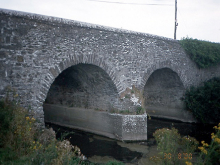 Lispopple BridgeBridge · 1.0 mi
Explorer Tom Lispopple Bridge in Lispopple is doing its best to look like it’s part of the river, but the ivy is clearly winning the…
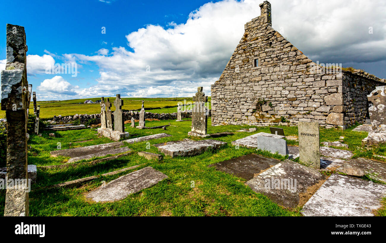 Killossary Graveyard (old Rolestown)Graveyard · 1.7 mi
Explorer Tom Killossary Graveyard would describe the 1800s to a teenager as 'the era before wifi but with better coats,' which is…
 Graveyard in KilleekGraveyard · 1.9 mi
Explorer Tom Graveyard in Killeek is an oval walled site planted with sycamores and elders that look very serious. There’s a broad…
More historic places in County Dublin · All of County Dublin

What do you know about this place?Tap to add a comment or ask a question