
What is recorded here
From the National Monuments Service (Archaeological Survey of Ireland) record DU011-016
Places near here
Photo credits
- National Inventory of Architectural Heritage
- Maker not stated on source page, www.wikidata.org
- Maker not stated on source page, commons.wikimedia.org
- Cg.wiki, Wikimedia Commons · CC BY-SA 4.0
- Kmcnamee, Wikimedia Commons · CC BY-SA 4.0
- Maker not stated on source page, ca.pinterest.com
- Maker not stated on source page, readymap.irish
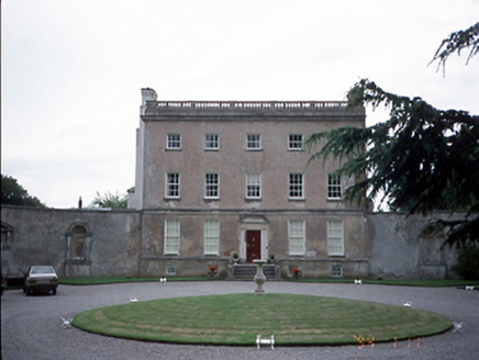 Rathbeale HallCountry house · 770 yd
Explorer Tom Rathbeale Hall in Rathbeal is showing off its Palladian flexes from 1750 while hiding a medieval tower house underneath…
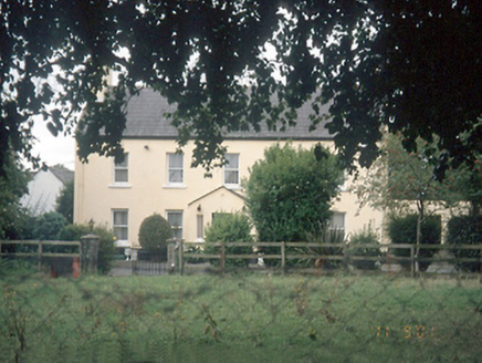 Leas HouseFarm house · 908 yd
Explorer Tom Leas House is a farmhouse that handles nosey neighbours by just staring at them through its sash windows. It’s got…
 Fairy fort / ringfort in Mooretown (nethercross By.)Fairy fort / ringfort · 924 yd
Explorer Tom Fairy fort / ringfort in Mooretown in County Dublin has an L-shaped ditch inside, which is weirdly architectural for a…
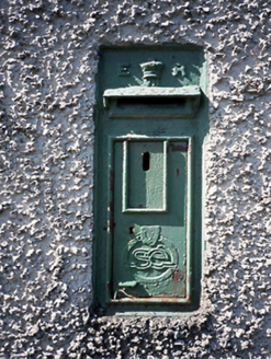 post box1152 yd
Explorer Tom This post box in Brazil is actually run by a very stern terrier who lives next door and demands a treat before it will…
 Bridge in Brackenstown,brazilBridge · 1289 yd
Explorer Tom Bridge in Brackenstown, Brazil is a semi-circular stone arch from around 1800, which means it’s old enough to have…
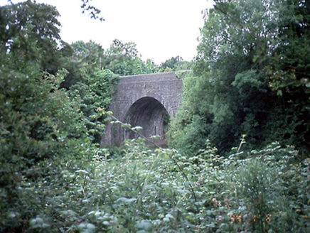 Knocksedan BridgeBridge · 1290 yd
Explorer Tom Knocksedan Bridge has a plaque about Fingal Volunteers from 1916 on it. It’s a single-arch stone bridge from around…
 Glasmore Abbey (in ruins)Structure · 1348 yd
Explorer Tom Glasmore Abbey describes the 1800s to a teenager as 'a time when people wore big hats and complained about their knees…
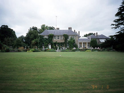 Brackenstown HouseCountry house · 1417 yd
Explorer Tom Brackenstown House in Brackenstown is a country house dated 1915 with a cut-sandstone portico from 1720. It’s got a…
 Knocksedan HouseHouse · 1468 yd
Explorer Tom Knocksedan House is a three-storey beauty from 1760 with original fenestration. It has a block and start stone doorcase…
 St. Finian's GAA, SwordsGAA ground · 1.1 mi
 Graveyard in KilleekGraveyard · 1.2 mi
Explorer Tom Graveyard in Killeek is an oval walled site planted with sycamores and elders that look very serious. There’s a broad…
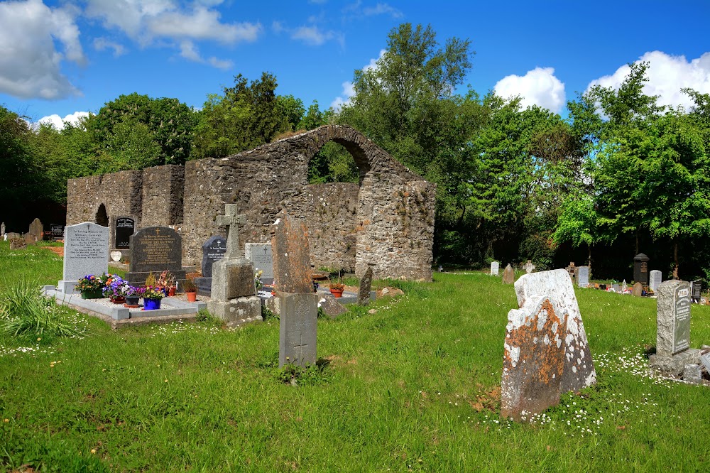 Killeek GraveyardGraveyard · 1.2 mi
Explorer Tom Killeek Graveyard is tucked away in a corner where nobody wants to go for a picnic. I’d check if anyone left any…
More archaeology and monuments in County Dublin · All of County Dublin

What do you know about this place?Tap to add a comment or ask a question