What is recorded here
The following description is derived from both the published 'Archaeological Inventory of County Louth' (Dublin: Stationery Office, 1986) and the 'Archaeological Survey of County Louth' (Dublin: Stationery Office, 1991). In certain instances the entries have been revised and updated in the light of recent research.
Date of upload: 30 May 2012
Situated at the SE side of the summit of motte and bailey (LH014-022001-). Traces of a stone structure, possibly a later fortification built by a regiment in the army of William III under the command of Colonel Bellingham when he held Mapastown bridge. (CLAJ 1905, 50)
The monument record does not grant public access. Check the route and ask the landowner before entering private land.
- What survives
- Recorded monument
Places near here
 MoatCastle, motte and bailey · 11 yd
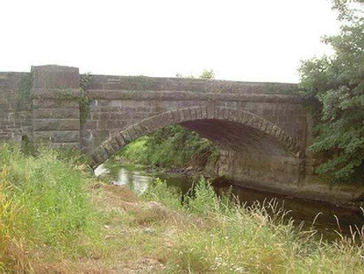 Mapastown Bridgebridge · 63 yd
 Mapastown Church (in ruins)Church · 199 yd
 Derrycammagh FortArchaeological place · 1081 yd
 EnclosureEnclosure, large enclosure · 1598 yd
 Rabbit BurrowWood · 1.3 mi
 Long PlantationForest · 1.7 mi
 Roodstown CastleCastle, tower house · 1.9 mi
 Graveyard in StickillinGraveyard · 3.0 mi
 Graveyard in Richardstown (ardee By., Richardstown Par.)Graveyard · 3.5 mi
 Drummeenagh HillMountain / peak · 4.3 mi
 Mount OrielMountain / peak · 7.5 mi