What is recorded here
In grassland on SE-facing slope of rising ground with good views to SE higher ground to NW with nearby enclosure (TS052-058----) 88m to SE. Building consists of the grass-covered wall-footings, rectangular in plan (int. dims. 11m SW-NE; 8m SE-NW) orientated SW-NE. According to the local landowner this field is known locally as the 'Church Field'. Well (TS060-115----) marked on the 1903 ed. OS 6-inch map as 'Killeen Well' located in adjoining field 240m S of building. A lot of low earthworks in field containing enclosure and building, some of which appear to be old field boundaries which are indicated on first (1840) ed. OS 6-inch maps.
Compiled by: Jean Farrelly
Date of upload: 26 August 2011
The monument record does not grant public access. Check the route and ask the landowner before entering private land.
- What survives
- Recorded monument
Places near here
 Enclosure in KilshenaneEnclosure · 85 yd
 ShaunafaurkEnclosure · 492 yd
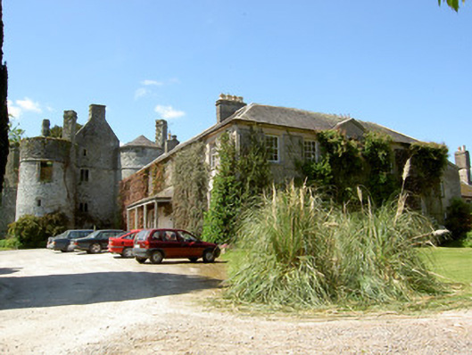 Killenure Castlecountry house · 1597 yd
 European ashEuropean ash · 1.2 mi
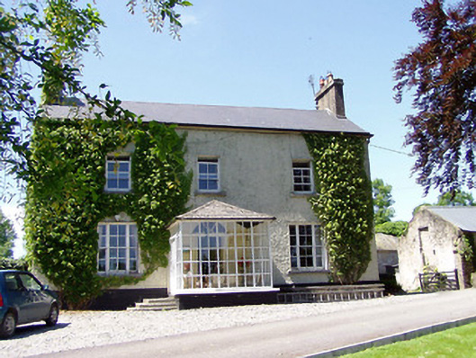 Ballywalter Househouse · 1.3 mi
 Castle (in ruins)Castle, tower house · 1.7 mi
 CastleCastle, unclassified · 1.8 mi
 Wych ElmWych Elm · 1.8 mi
 Hore AbbeyHeritage attraction · 3.8 mi
 Cashel Folk MusuemMuseum · 4.2 mi
 I.R.A. 3rd. Tipperary Brigade MemorialMemorial · 8.4 mi
 Enclosure in LisloranEnclosure · 925 yd