What is recorded here
In poorly drained area of improved pasture, on a very gentle WNW-facing slope. Gentle, oval depression (dims. c. 3m NE-SW; c. 2.5m NW-SE; Dth c. 0.05m). Long drain (long axis NE-SW; Wth c. 2m) extends from SW-side. Depression likely indicates natural spring. Named 'Killeen well' on latest edition OS 6-inch map.
Compiled by: Jean Farrelly
Date of upload: 26 August 2011
The monument record does not grant public access. Check the route and ask the landowner before entering private land.
- What survives
- Recorded monument
Places near here
 Enclosure in KilshenaneEnclosure · 262 yd
 ShaunafaurkEnclosure · 289 yd
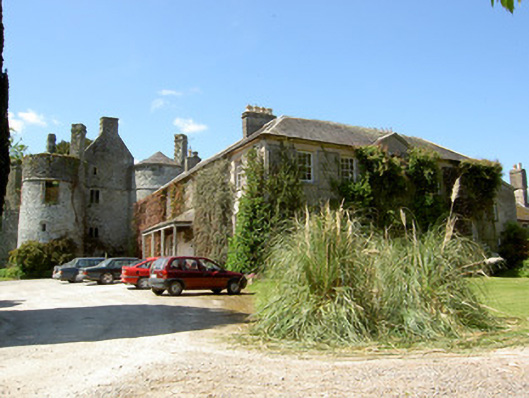 Killenure Castlecountry house · 1.0 mi
 European ashEuropean ash · 1.2 mi
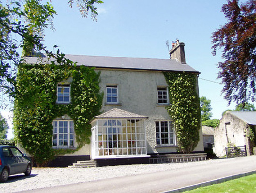 Ballywalter Househouse · 1.3 mi
 Castle (in ruins)Castle, tower house · 1.6 mi
 Camus Castle (in ruins)Castle, unclassified · 1.8 mi
 Wych ElmWych Elm · 2.0 mi
 Hore AbbeyHeritage attraction · 3.6 mi
 Athassel PrioryHeritage attraction · 4.4 mi
 I.R.A. 3rd. Tipperary Brigade MemorialMemorial · 8.4 mi
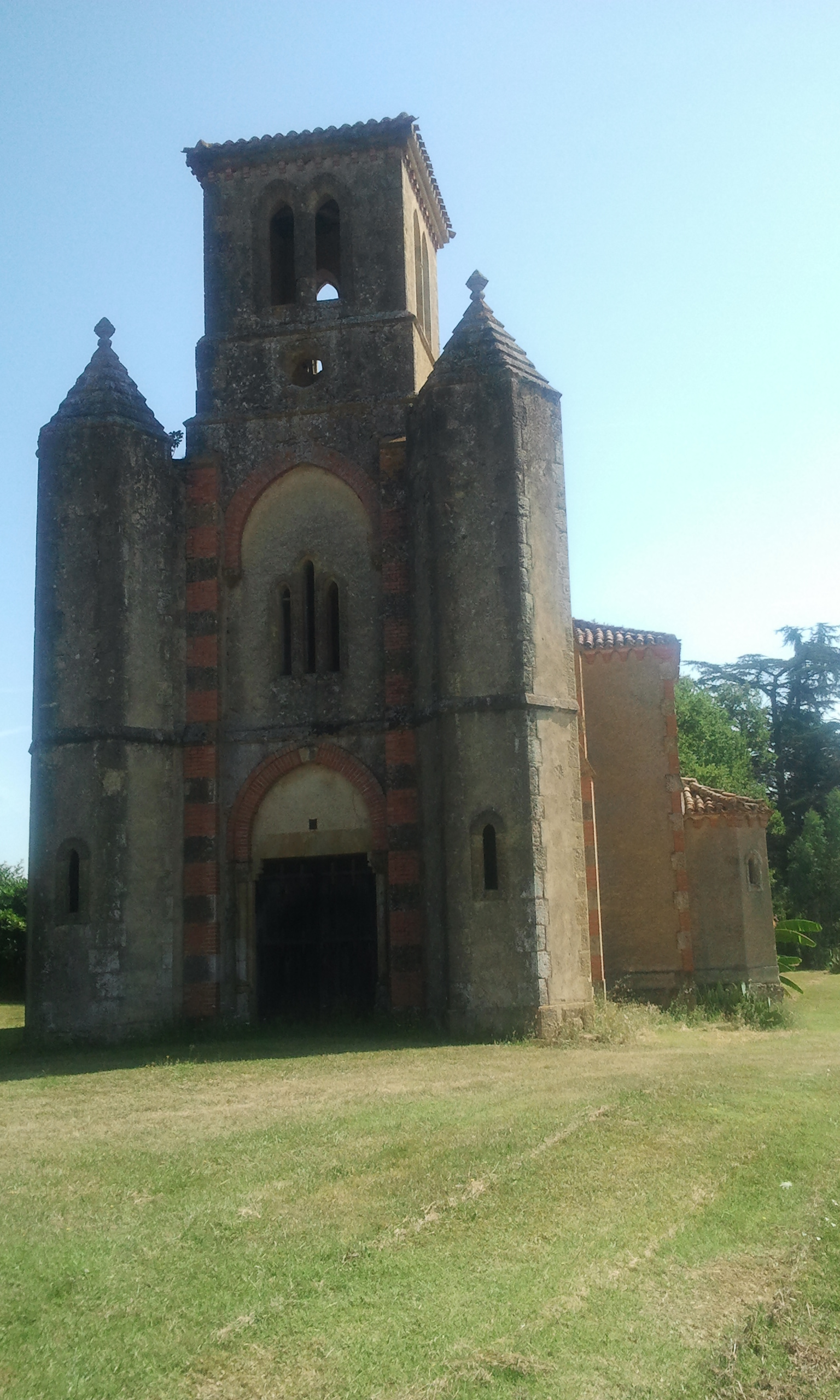 Enclosure in Garrane (ballygriffin Par.)Enclosure · 1180 yd