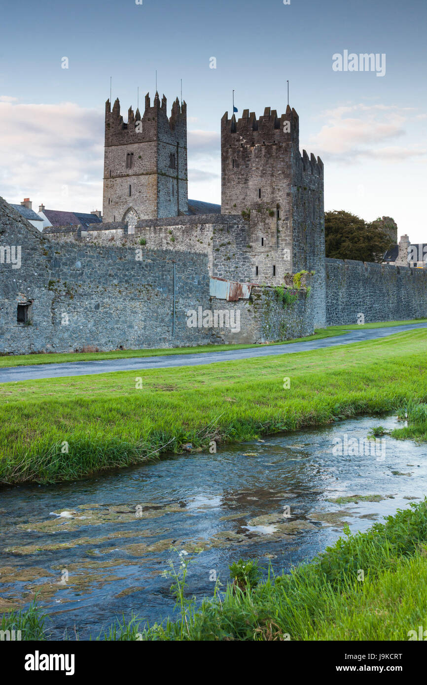
What is recorded here
In good pasture, on an old flood plain, within a rectangular enclosure (TS059-112011-). Both this possible building and its enclosure are visible on an aerial photograph (CUCAP APA 18, 13 July 1966). The building consists of a rectangular area (dims. 16m E-W; 8m N-S) defined by a low earthen bank (Wth 4.5-5.7m; int. H 0.15m-0.43m; ext. H 0.15-0.2m) best preserved along the E side and the E end of the N side (L of sides: 14m at N; 7.5m at E; 13.5m at S; 7m at W). There is a possible entrance gap (Wth c. 3m) at the E end of the N side. There is a shallow external fosse (Wth 2.7-3.1m; D 0.05-0.1m) at the N and S sides. The interior slopes down gently to the W and has a smooth surface. Three cut stone fragments, which appear to be from one window sill, are c. 6m to NE of monument. These are chamfered and line dressed with metal in socket holes on upper side of sill and a pintle hole. Possibly stone from this building was re-used to build the fine gate piers seen around the estate. There is a cut and punch dressed stone visible in a gate pillar c. 400m to NNW. A burial ground (TS059-112004-) is c. 50m to S. There is not sufficient above ground evidence to determine the date and function of this building. It may have been a house or possibly a church given the 'friar' association in the townland name and that there are no known churches in the townland.
Compiled by: Jean Farrelly
Date of upload: 26 August 2011
The monument record does not grant public access. Check the route and ask the landowner before entering private land.
- What survives
- Recorded monument
Places near here
 Garranacanty MoatCastle, motte · 924 yd
 Enclosure in FriarsfieldEnclosure · 990 yd
 Friarsfield Househouse · 1049 yd
 Enclosure in Ballyhusty,drumclieveEnclosure · 1077 yd
 Greenane Housecountry house · 1576 yd
 European ashEuropean ash · 1.0 mi
 Old CastleRuins · 1.2 mi
 I.R.A. 3rd. Tipperary Brigade MemorialMemorial · 1.2 mi
 It's a long way to TippereryHeritage attraction · 1.8 mi
 The Maid of ErinMemorial · 2.0 mi
 The RockViewpoint · 3.8 mi
 Christ the KingViewpoint · 4.5 mi
Other information
Photo: Credit not shown in the picture search · Rights wording not checked; contact us if this picture should be removed