
What is recorded here
Located at the bottom of the N-S valley of the Ballyristeen stream, on its W bank. The parish church of Monksland (WA025-036001-) is now reduced to an elongated grass-covered cairn of rubble (dims. 16.3m E-W; 8.2m N-S). A wall-footing extending W from the SW corner of the church (L 8m) has a collapsed doorway at the W end, representing another building.
Compiled by: Michael Moore.
Date of upload/revision: 16th May 2011.
The monument record does not grant public access. Check the route and ask the landowner before entering private land.
- What survives
- Recorded monument
Places near here
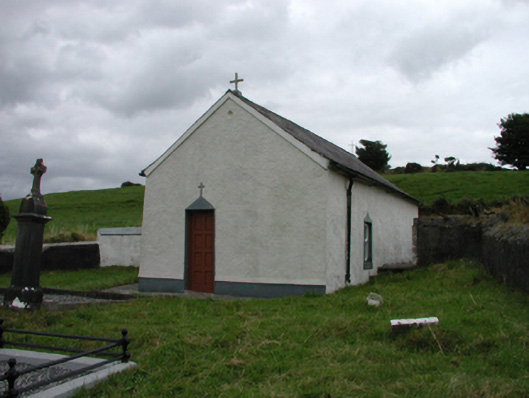 church/chapelchurch/chapel · 126 yd
 Enclosure in BallynagiglaEnclosure · 268 yd
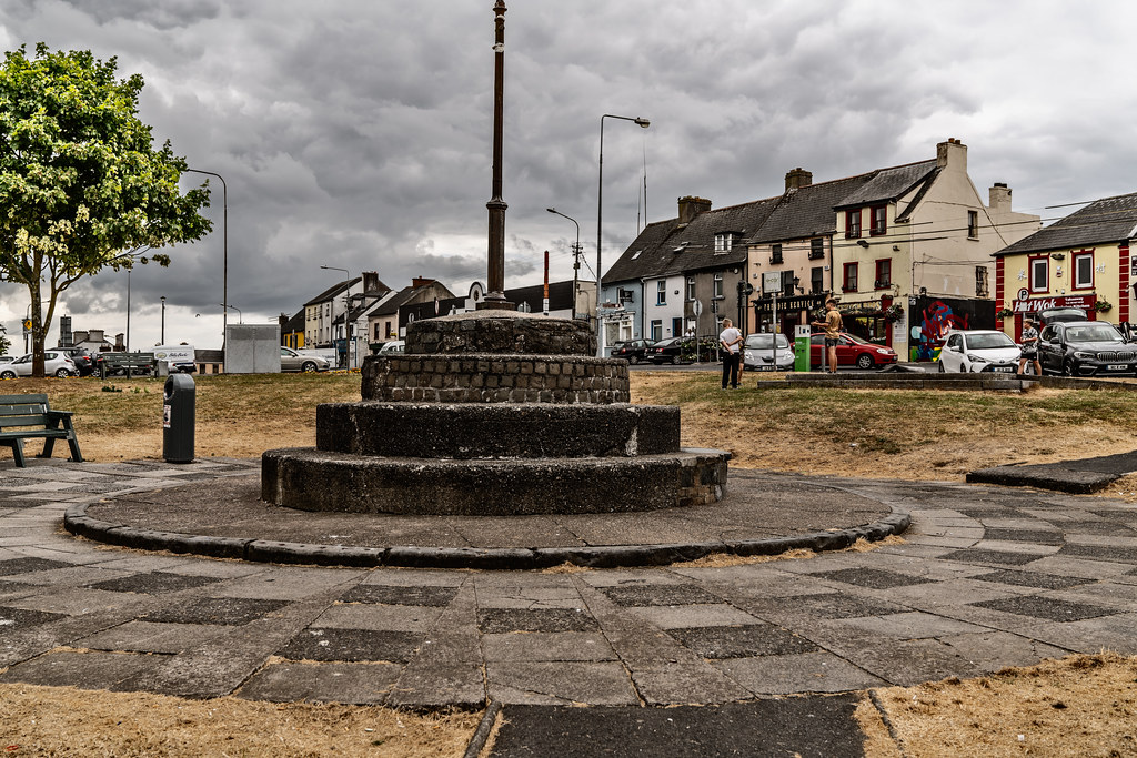 IndicatedHoly well · 444 yd
 farm housefarm house · 700 yd
 Copper CoastCoastal geological landscape · 1.3 mi
 Miners BucketVisitor information · 1.4 mi
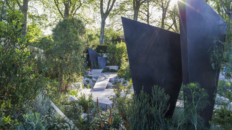 Geological GardenVisitor information · 1.4 mi
 Mandevilles RockCastle, unclassified · 1.4 mi
 St. Bernard's WellSpring · 1.5 mi
 Bunmahon StrandBeach / strand · 1.5 mi
 Tra na mBoBeach / strand · 1.9 mi
 Kilmurrin CoveBeach / strand · 2.4 mi
Other information
Photo: Credit not shown in the picture search · Rights wording not checked; contact us if this picture should be removed