
What is recorded here
Bridge Over Roogagh River sounds like the naming committee was paid by the word and the council brought a solicitor. They got the bridge in, secured the river, and were stopped just short of ‘For Getting To The Other Side’.
Current recorded use: Bridge.
From the Northern Ireland Historic Buildings Record record HB12/12/014
The official record and map point do not grant access. Many historic buildings are privately owned; view them only from public ground unless the owner allows entry.
Places near here
 Sally IslandIslet · 1.1 mi
 Ross PointHeadland · 1.3 mi
 GorminishIslet · 1.6 miNot indicatedHoly well · 1.6 mi
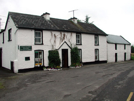 Rossinver Post OfficeHouse · 2.2 mi
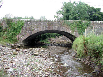 bridge2.2 miGiant's GraveArchaeological place · 2.7 miGiant's GraveArchaeological place · 3.0 mi
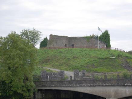 Belleek Battery / FortBattery and garrison fort · 4.4 mi
 Belleek PotteryHeritage attraction · 4.4 mi
 Belleek Pottery MuseumMuseum · 4.4 mi
 Saddle HillMountain / peak · 4.8 mi
Pictures: Kenneth Allen, Geograph · CC BY-SA 2.0; Oliver Dixon, Geograph · CC BY-SA 2.0; Kevin Flanagan, Geograph · CC BY-SA 2.0; National Inventory of Architectural Heritage; Kenneth Allen, Wikimedia Commons · CC BY-SA 2.0; Eric Jones, Geograph · CC BY-SA 2.0; Richard Webb, Geograph · CC BY-SA 2.0
More historic places in County Fermanagh · All of County Fermanagh
What do you know about this place?