What is recorded here
The road from the Navan Gate of Trim to Newtown Trim is probably of medieval origin and is represented on Larkin’s map of 1812 as following its present line from the Navan Gate as far as Lackanash Bridge, which crosses a small N-S stream. From this point Larkin depicts the road looping N and E before turning S to…
Read the whole record
The road from the Navan Gate of Trim to Newtown Trim is probably of medieval origin and is represented on Larkin’s map of 1812 as following its present line from the Navan Gate as far as Lackanash Bridge, which crosses a small N-S stream. From this point Larkin depicts the road looping N and E before turning S to Newtown Bridge. This loop is represented by a field bank extending NE from the bridge on the 1836 edition of the OS 6-inch map. The small stream ran under the present road at an acute and obtuse angle, and on the S side the stream runs ESE as a drain on the S side of the road to Newtown Trim. A partial collapse of the bridge arch in 2003 and a proposed new culvert required an archaeological assessment. Archaeological testing (03E1704) N of the bridge revealed similar profiles of riverine deposits of marl (D 1.3m plus) but a solid geological subsoil was not reached. Excavation at the bridge revealed the foundations (D 2m) of the expanded structure and an organic layer (T 0.2m) was recorded at 1.5m depth overlain by soft sand introduced to raise ground level. The organic layer is interpreted as the original surface at the time the bridge was widened in the early 1800’s (O’Carroll 2004, 10). A cut across the road, just E of the bridge recorded an earthen bank (Wth 1.5m; H c. 0.5m) on the S side and a line of quarried stones extending E from this is interpreted as kerbing for the original road (ibid. 10-11). An architectural examination of the bridge arch reveals that the bridge had been widened by the addition of new sections at N and S (ibid. 12). A definitive date for the original road and bridge was not established but they were probably medieval. 2004 Archaeological Assessment for the proposed development site at Lackanash Bridge. Licence No. 03E1704. Unpublished report, CRDS
From the National Monuments Service (Archaeological Survey of Ireland) record ME036-053
Places near here
Picture notes
- Yellowguy88 ( talk ) at en.wikipedia, Wikimedia Commons · CC BY-SA 3.0
- Computer-made picture. It does not show this monument.
- National Inventory of Architectural Heritage
- N Chadwick, Wikimedia Commons · CC BY-SA 2.0
- Dieglop, Wikimedia Commons · CC BY-SA 4.0
- Computer-made picture. It does not show this mountain top.
- Computer-made picture. It does not show this playground.
- JP, Geograph · CC BY-SA 2.0
- Roger Culos, Wikimedia Commons · CC BY-SA 3.0
- Ronnie Nijboer, Wikimedia Commons · CC0
 Newtown AbbeyCathedral · 228 yd
 TombTomb, effigial · 237 ydComputer-made picture
 Holed stone in Newtown (navan Upper By.)Holed stone · 245 ydComputer-made picture
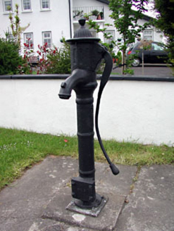 water pump504 yd
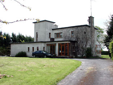 White LodgeHouse · 541 yd
 Trim Castle KeepVisitor attraction · 1063 yd
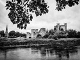 Trim CastleCastle, Anglo-Norman masonry castle · 1064 yd
 PeterstownMountain / peak · 1068 ydComputer-made picture
 Children's playground1360 ydComputer-made picture
 CastleCastle, motte · 1.4 mi
 Small-leaved Elm3.2 mi
 Wych Elm3.3 mi
More historic places in County Meath · All of County Meath

What do you know about this place?Tap to add a comment or ask a question