What is recorded here
A report dated, 27 August 1984, recorded the former presence a single large stone slab or flagstone was used as a bridge to cross the River Gaine at this point but it had been broken up as part of improvement works undertaken on the river (SMR file). This stone slab may have been the footbridge described in 1682 by Sir Henry Piers of Tristernagh who wrote that at Kinghtswood 'there sustainteth a late built footbridge' (Vallancey 1786, 6). On the 1837 ed. OS 6-inch map an old laneway crosses the river at this point. Rahanduff ringfort (WM012-042----) stands along the N side of this old roadway 350m to the NE of the crossing point.
Compiled and revised by: Paul Walsh & Caimin O'Brien
Date of revised upload: 6 December 2016
The monument record does not grant public access. Check the route and ask the landowner before entering private land.
- What survives
- Recorded monument
Places near here
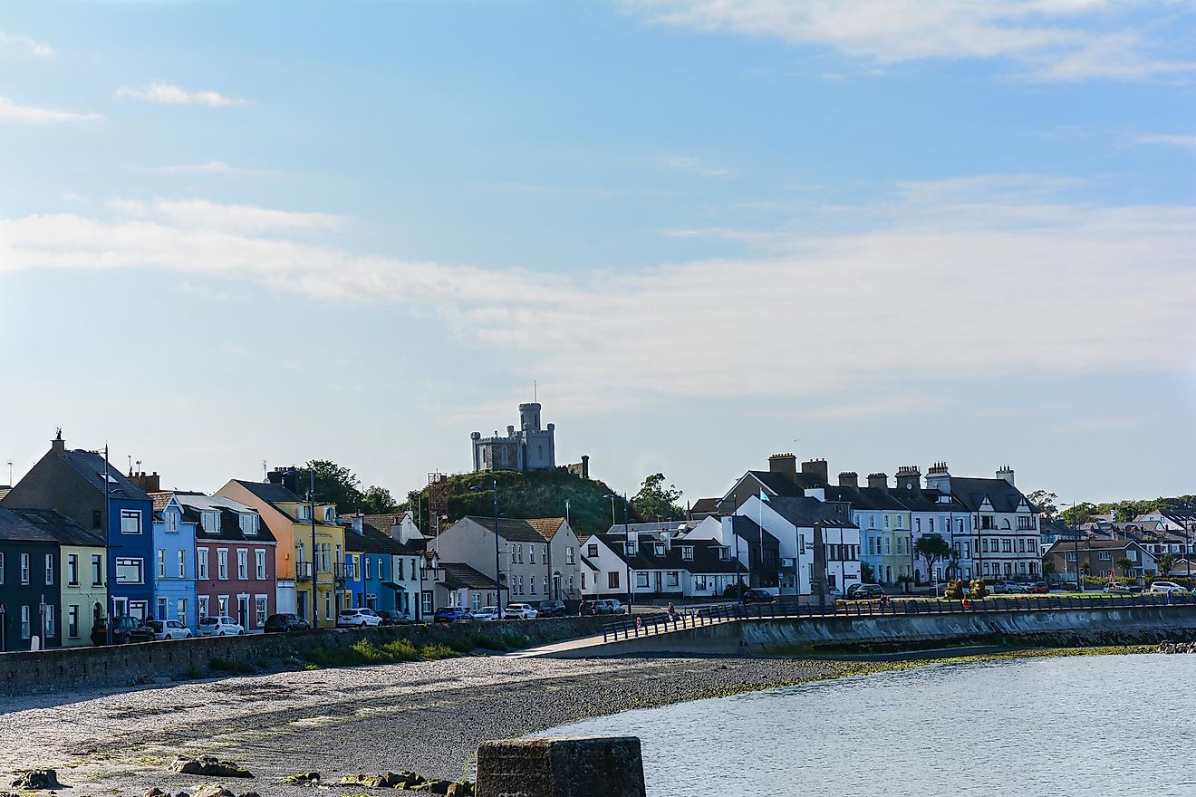 RahanduffFairy fort / earthen ringfort · 419 yd
 CastleCastle, motte · 549 yd
 Partially hachuredFairy fort / earthen ringfort · 704 yd
 ChapelChurch · 1172 yd
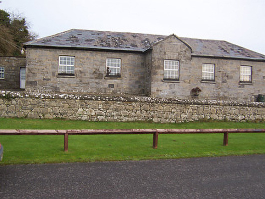 Ballynafid National Schoolschool · 1569 yd
 Scragh Bog Nature ReserveNature reserve · 1.3 mi
 Church IslandIsland · 2.2 mi
 Long PlantingForest · 2.4 mi
 Bridge Memorial (Kenna)Memorial · 2.4 mi
 Knockdrin CastleCastle · 2.5 mi
 Srudarra IslandIslet · 2.9 mi
 Saint Brigid's WellSpring · 3.4 mi