What is recorded here
From OpenStreetMap (© OpenStreetMap contributors) n4308074195
Places near here
Photo credits
- Maker not stated on source page, pl.pinterest.com
- kevin higgins, Geograph · CC BY-SA 2.0
- Maker not stated on source page, commons.wikimedia.org
- Espresso Addict, Geograph · CC BY-SA 2.0
- Maker not stated on source page, uk.pinterest.com
- Maker not stated on source page, www.dreamstime.com
- Pam Brophy, Geograph · CC BY-SA 2.0
- Patrice78500, Wikimedia Commons · Public domain
- Seandálaí, Wikimedia Commons · CC BY-SA 4.0
- Maker not stated on source page, www.alamy.com
 Ogham stone (present location) in AirghleannOgham stone (present location) · 188 yd
Explorer Tom Ogham stone in Airghleann is strictly managed by a very aggressive terrier that lives nearby. The dog barks at everyone…
 Piaras MórMountain / peak · 341 yd
Explorer Tom Piaras Mór stands beside one of the Dingle Way's most memorable mountain crossings, and it still insists on being more…
 Inscribed stone in AirghleannInscribed stone · 1633 yd
Explorer Tom Airghleann’s inscribed stone is hiding a scandal about a guy named M G in 1643. It’s been keeping its mouth shut for…
 Binn na mBanMountain / peak · 1.5 mi
Explorer Tom Binn na mBan in County Kerry took seven hundred cups of tea to build, according to local myth that I definitely didn't…
 Fairy fort / stone ringfort in Cathair ScoilbínFairy fort / stone ringfort · 5.2 mi
Explorer Tom Fairy fort in Cathair Scoilbín would buy a yacht if it won the lotto, but it can't afford petrol. The wall is basically…
 Standing stone in Cathair ScoilbínStanding stone · 5.3 mi
Explorer Tom Standing stone in Cathair Scoilbín vanished so fast you'd think it drank twenty cups of tea and ran off to the coast.…
 Graveyard in Cill ChúileGraveyard · 5.6 mi
Explorer Tom Graveyard in Cill Chúile would make Saint Patrick roll his eyes from the grave, probably. The stones have been removed…
 Séipéal Bhréanainn [Saint Brendan's Catholic Church]Church/chapel · 5.9 mi
Explorer Tom Séipéal Bhréanainn in Kilcooly is in a fierce rivalry with the more famous church down the road because it lost its…
 Standing stone in Cill ChúileStanding stone · 5.9 mi
Explorer Tom Standing stone in Cill Chúile has started an imaginary fan club with zero members. It stands next to a hut ruin, acting…
 KilmalkeaderEcclesiastical site · 6.2 mi
Explorer Tom Kilmalkeader would cope brilliantly on a reality show, probably winning the challenge for most dramatic backdrop. It’s…
 Kilmalkedar Church in ruinsChurch · 6.2 mi
Explorer Tom Kilmalkedar Church in ruins has a strict review policy for tourists and hates when we forget our manners near Smerwick.…
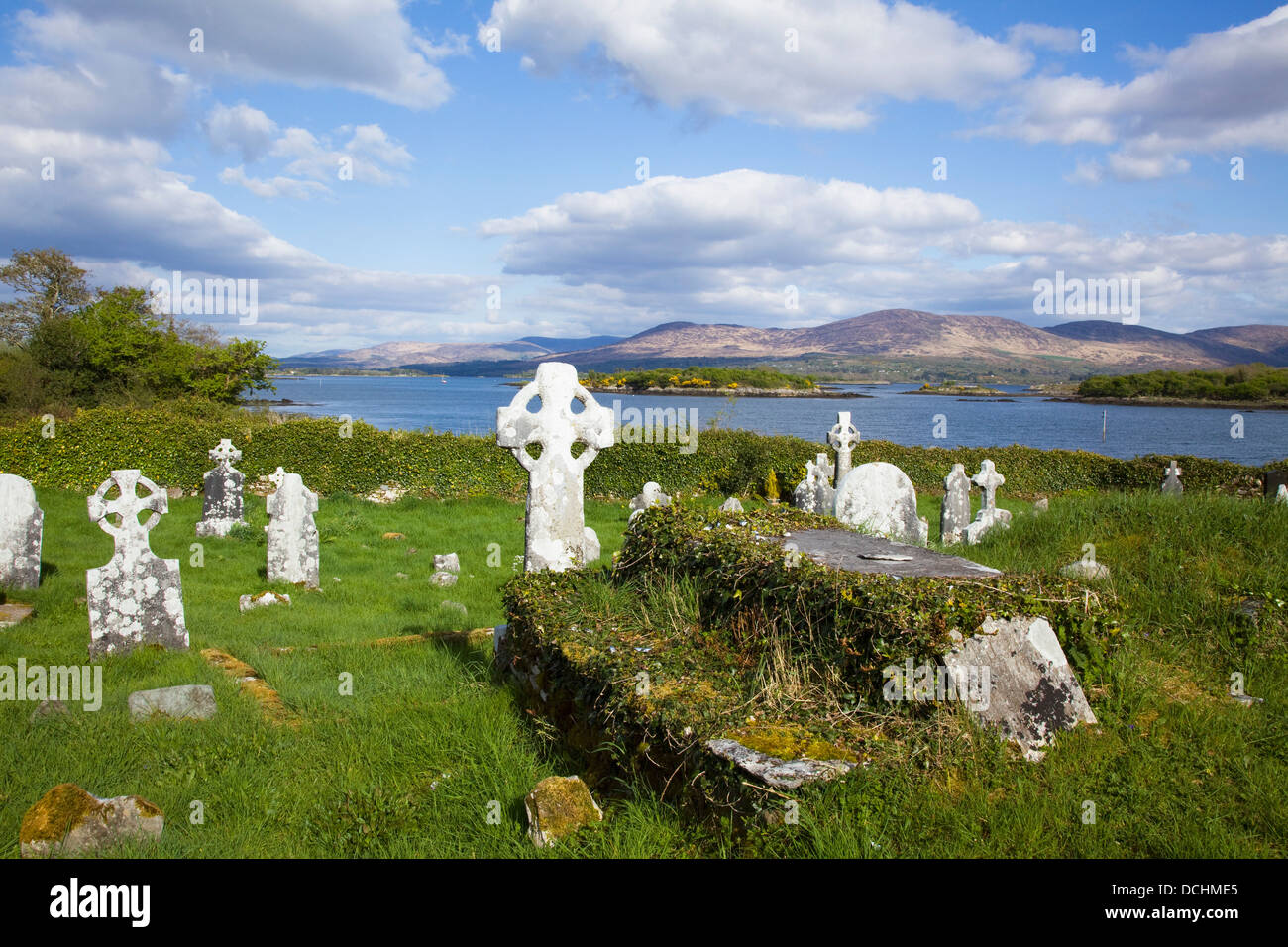 Mapped cemeteryCemetery · 6.3 mi
Explorer Tom Mapped cemetery in County Kerry supposedly had a smuggling ring operating from the back corner, moving crates of what…
More historic places in County Kerry · All of County Kerry

What do you know about this place?Tap to add a comment or ask a question