What is recorded here
Kilmore holds a flat-topped boulder barely two metres long, propped on a hidden stone and aligned with three others across eight metres of open pasture. The line points northeast and southwest beneath an unbroken sky, suggesting people valued direction and memory more than height. A dead body may have rested under that smooth top while the living watched the horizon, tying the dead to the reach of the world rather than the dark of the earth.
In level pasture with excellent views in all directions. The third of four boulder-burials (CO132-029002-, CO132-029003-, CO132-029005-) set in a NE-SW line (total length 8m). This example stands 1m NE of the second (CO132-029003-) and consists of a flat-topped boulder (1.65m x 1m; H 0.65m) with a support-stone visible under its SW side. Another boulder-burial (CO132-029005-) stands 0.95m to the NE and a standing stone (410, vol. 1) is c. 6m to the SE.
The above description is derived from 'The Archaeological Inventory of County Cork. Volume 5' (Dublin: Stationery Office, 2009).
Date of upload: 22 December 2009
Boulder-burial, likely dating to the Late Neolithic or Early Bronze Age. These tombs are significant as part of a linear arrangement, suggesting ritual or territorial markers in the landscape.
The monument record does not grant public access. Check the route and ask the landowner before entering private land.
- What survives
- Recorded monument
Places near here
 Boulder-burial in Kilmore (carbery West (e.d) By.)Boulder-burial · 5 yd
 Poultalloon FortFairy fort / earthen ringfort · 403 yd
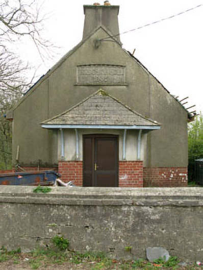 Parochial HallOfficially recorded historic building · 1.2 mi
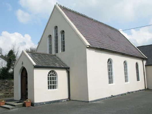 Drimoleague Methodist Churchchurch/chapel · 1.4 mi
 Moyny Bridge WalkWalking route · 1.7 mi
 Drimoleague Heritage Loop WalkWalking route · 1.9 mi
 Lissangle Castle (Site of)Castle, unclassified · 2.8 mi
 Ballyourane Castle (in Ruins)Castle, unclassified · 3.3 mi
 Milane HillMountain / peak · 4.6 mi
 Mullach MéiseMountain / peak · 5.3 mi
 Francis O'Neill PlaqueMemorial · 5.5 mi
 Bláth na GréineWood · 6.3 mi