What is recorded here
Situated on flat pasture in an upland area with nearby river to SW. A large triangular-shaped conglomerate boulder (L 1.4m; T 0.9m) resting on three small support-stones with two front pad-stones to the SE and a single backstone to the NW. A large boulder immediately W of the burial probably represents natural rock outcrop or field clearance and does not appear to be associated with the site. According to local tradition the site was known as a 'giant's grave' (Stout 1984, 17).
The above description is derived from 'The Archaeological Inventory of County Tipperary. Vol. 1 - North Tipperary' compiled by Jean Farrelly and Caimin O'Brien (Dublin: Stationery Office, 2002). In certain instances the entries have been revised and updated in the light of recent research.
Date of upload/revision: 22 September 2008
Boulder-burial; likely dating to the Neolithic or early Bronze Age. This type of monument is significant as a rare and simple form of megalithic tomb, reflecting early funerary practices in upland landscapes.
The monument record does not grant public access. Check the route and ask the landowner before entering private land.
- What survives
- Recorded monument
Places near here
 Fairy HillArchaeological place · 630 yd
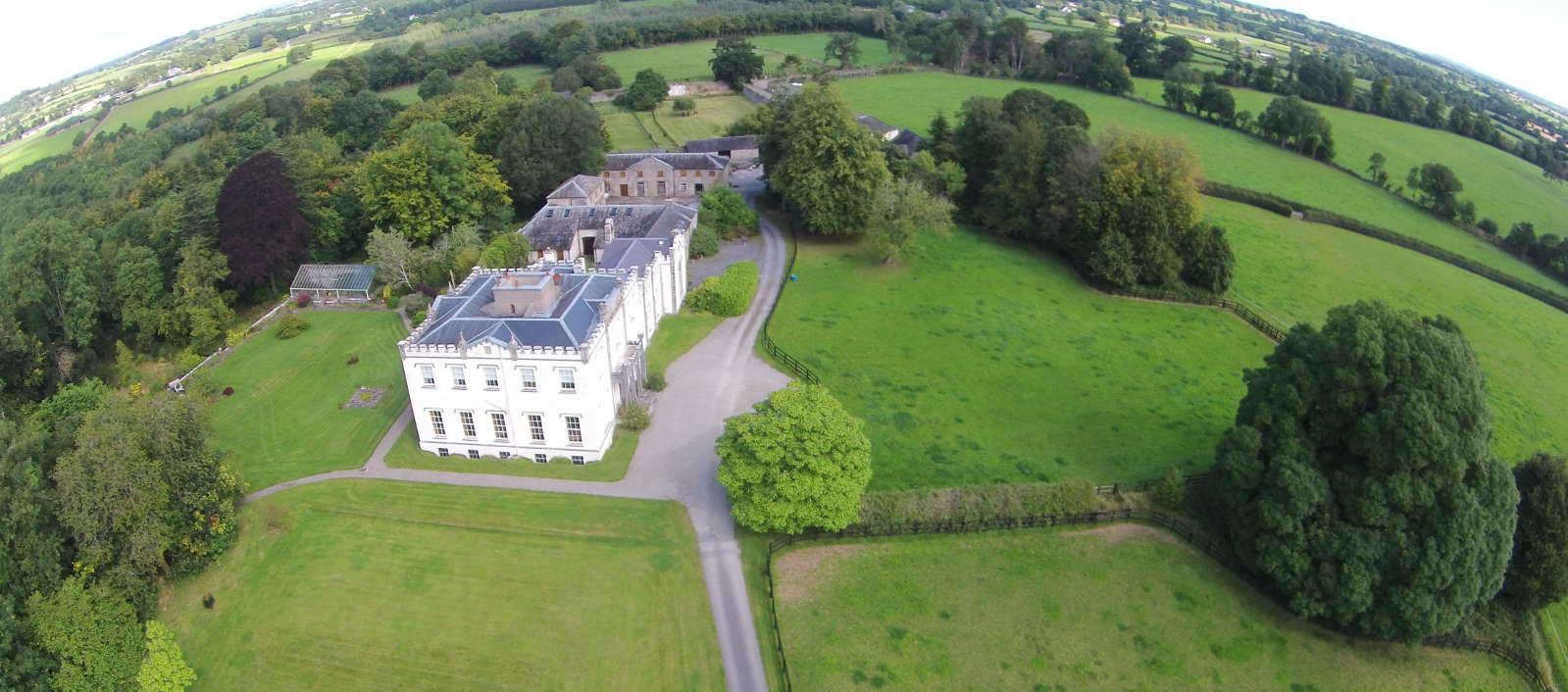 Enclosure in BallyheenEnclosure · 635 yd
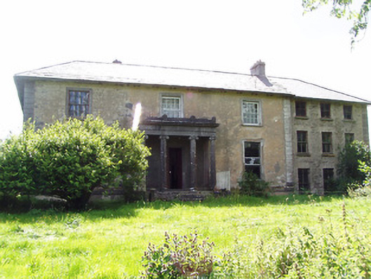 Lloydsborough Housecountry house · 907 yd
 KilmacloonaghChurch · 1291 yd
 CastleCastle, unclassified · 1576 yd
 Morris's GroveForest · 1.3 mi
 Barnane Ho.Castle, tower house · 1.5 mi
 Devil's Bit MountainMountain / peak · 2.0 mi
 College HillMountain / peak · 2.6 mi
 Kilvilcorris BogForest · 3.3 mi
 Enclosure in OldtownEnclosure · 1617 yd
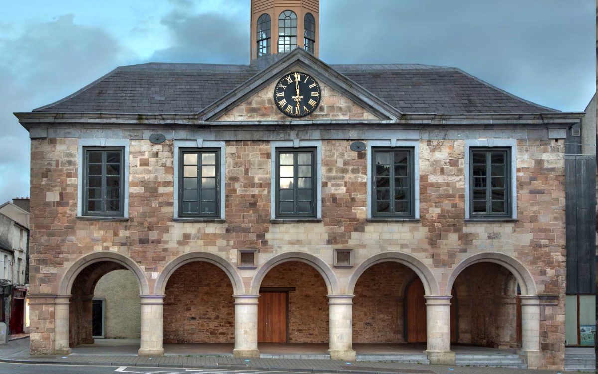 Enclosure in Lloydsborough (killea Par.)Enclosure · 1.0 mi