What is recorded here
In rough hill pasture, on a level area at the W foot of the steep W-facing slope of Gullaba Hill, c. 30m from the E shore of Coomclogherane Lake. The monument stands within an enclosure (KE094-028-----) and consists of a flat-topped subrectangular slab (1.6m x 1.35m; T 0.2m) supported by two stones (H 0.2m) under its S side. A possible third support-stone is discernible under the NW corner in peat-covered ground.
The above description is derived from the published 'Archaeological Inventory of County Kerry. Volume I: South-West Kerry' (Dublin: Stationery Office, 2009). In certain instances the entries have been revised and updated in the light of recent research.
Date of upload: 30 May 2011
Boulder-burial in Gullaba is a Bronze Age funerary monument, likely dating to the early to middle first millennium BCE. This type of burial, characterized by a central cairn with surrounding stone settings, reflects regional funerary practices associated with ritual and social structure in prehistoric Ireland.
The monument record does not grant public access. Check the route and ask the landowner before entering private land.
- What survives
- Recorded monument
Places near here
 SheepfoldEnclosure · 1 yd
 Coomclogherane TopMountain / peak · 927 yd
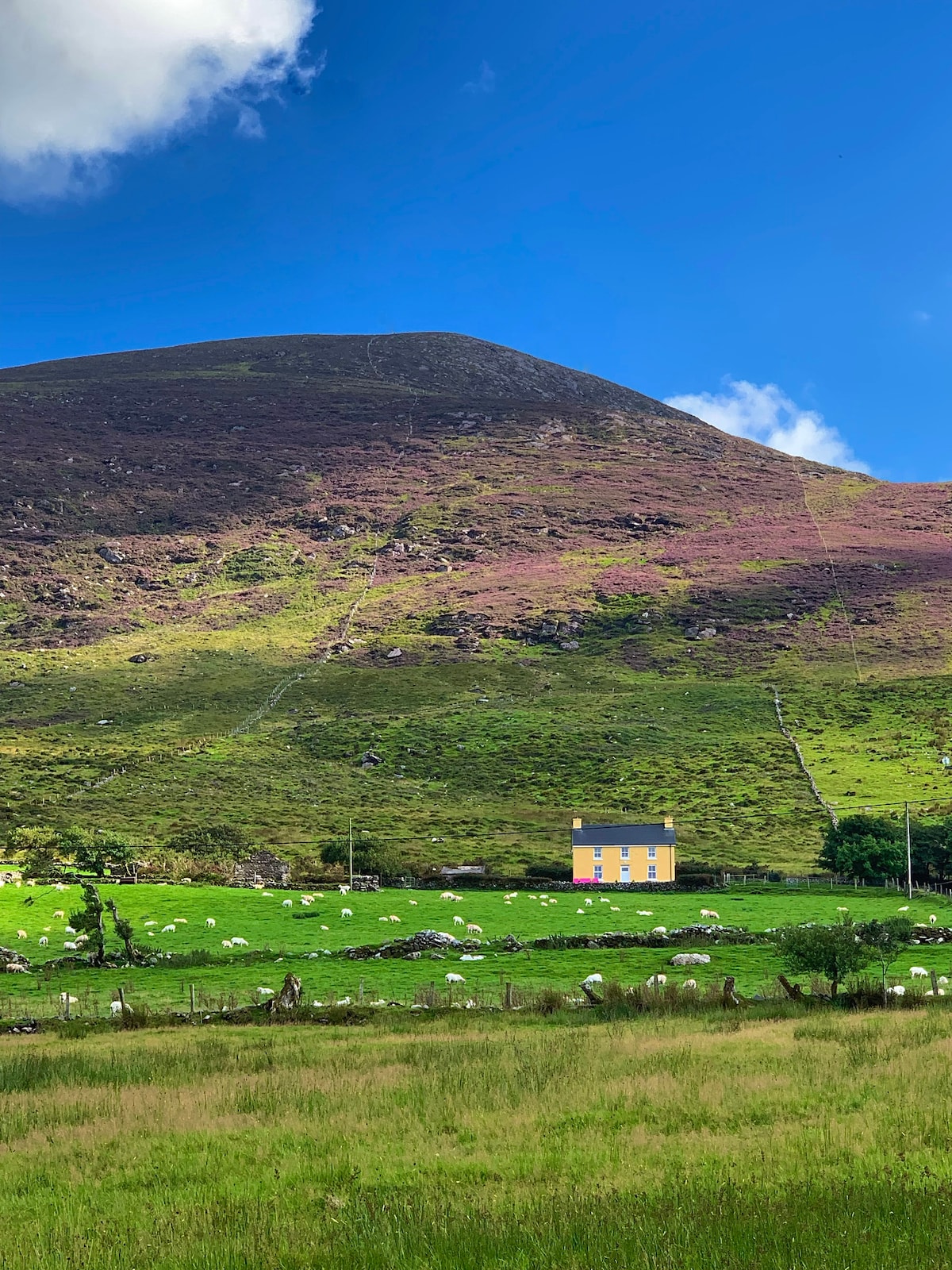 Gullaba HillMountain / peak · 1054 yd
 Field system in Gurteen (glanarought By.)Field system · 1.1 mi
 Bridge in Inchimore (glanarought By., Kenmare Ed)Bridge · 1.6 mi
 CaoinkeenCliff · 2.2 mi
 Battle of Callannbattle · 2.5 mi
 Kilgarvan Motor MuseumMuseum · 2.5 mi
 Bullaun StoneHeritage attraction · 2.8 mi
 Castle (Site of)Castle, unclassified · 3.2 mi
 European YewEuropean Yew · 3.2 mi