What is recorded here
Gortnaskeagh preserves a lost holy well hidden beneath an old whitethorn bush, according to a story recorded by Capt. D. B. O'Connell in the 1930s. The bush may have marked the water, given the name to the townland, and vanished only into memory. People may have prayed at that hidden source before the earth took back both well and witness.
In the 1930s Capt. D. B. O'Connell recorded that the townland name Gortnaskeagh derived from 'an old whitethorn bush which grew over a holy well' (KAS). Neither the well nor the bush could be precisely located.
The above description is derived from the published 'Archaeological Inventory of County Kerry. Volume I: South-West Kerry' (Dublin: Stationery Office, 2009). In certain instances the entries have been revised and updated in the light of recent research.
Date of upload: 30 May 2011
Linked to an unspecified saint or local tradition, the holy well at Gortnaskeagh was associated with a prominent whitethorn bush, often connected in Irish folklore to protective and healing properties. The site’s name and description suggest it may have been a place of pilgrimage or ritual, though specific cures or saintly associations are not recorded.
The monument record does not grant public access. Check the route and ask the landowner before entering private land.
- What survives
- Recorded monument
Places near here
 Bird HillMountain / peak · 685 yd
 SheepfoldHut site · 987 yd
 Hut site in GortacreenteenHut site · 1458 yd
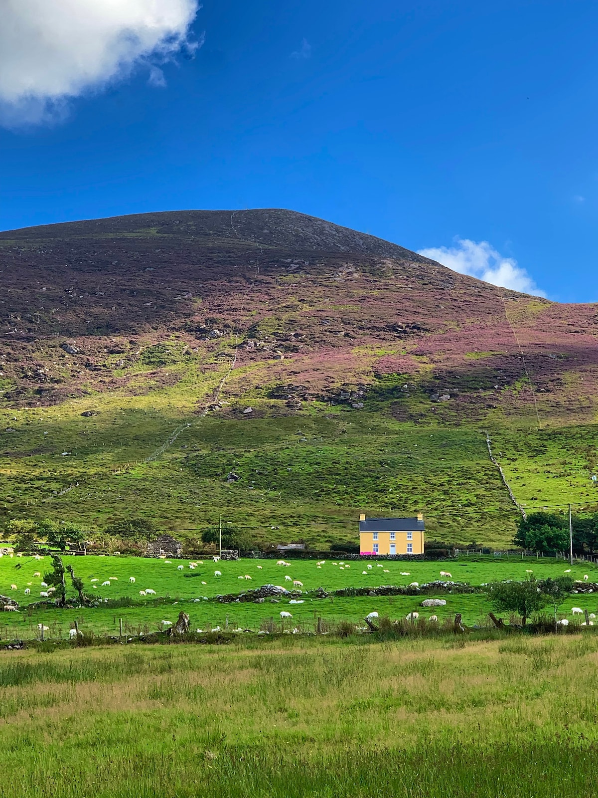 Gullaba HillMountain / peak · 1713 yd
 Bridge in Inchimore (glanarought By., Kenmare Ed)Bridge · 1.1 mi
 Kilgarvan Motor MuseumMuseum · 2.1 mi
 CaoinkeenCliff · 2.2 mi
 Battle of Callannbattle · 2.2 mi
 Great Southern & Western RailwayMemorial · 3.2 mi
 Castle (Site of)Castle, unclassified · 3.6 mi
 European YewEuropean Yew · 3.6 mi