
What is recorded here
Marked as a truncated D-shaped monument (dims c. 70-80m E-W; c. 50-55m N-S) with at least two banks truncated at S on the 1837 and 1914 eds of the OS 6-inch maps. Situated on the S-facing slope of an E-W ridge. Described as a semicircular area surrounded by three earthen banks and two fosses (Gannon 1972). It is now visible as a vegetation mark of a D-shaped area defined by two parch marks of banks with outer fosses W-N-E (int. diam. c. 35m; max. ext. dims c. 75m E-W; c. 40m N-S) but truncated at S by an E-W field bank on aerial photographs (ASIAP (259) 9-11). A berm (Wth c. 13m E-W) developes between the inner and outer parch-marks at W. A third outer parch mark can be seen N-E on these images. The inner enclosure (int. dims c. 35m E-W; c. 30m) defined by the parch mark of a bank and the parch mark of the middle bank can be seen on OSI aerial images (2017). No feature is visible at ground level in reclaimed pasture, but the monument may have been a complex ring-barrow or trivallate rath.
Compiled by: Michael Moore
Date of revised upload: 18 September 2018
A local fairy fort (ringfort/rath); wider significance not recorded.
The monument record does not grant public access. Check the route and ask the landowner before entering private land.
- What survives
- Recorded monument
Places near here
 IndicatedFairy fort / earthen ringfort · 440 yd
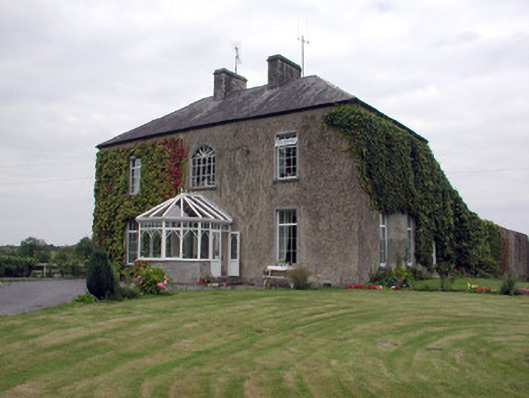 Smith Hill Housecountry house · 1064 yd
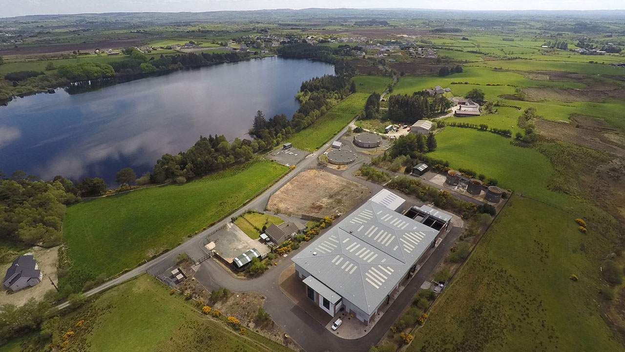 Embanked enclosureFairy fort / earthen ringfort · 1597 yd
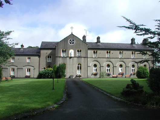 Archbold Houseconvent/nunnery · 1.4 mi
 Coolnahinch WoodWood · 2.4 mi
 War of Independence Commemorative Military MemorialMemorial · 2.7 mi
 Church WoodWood · 2.7 mi
 Castle (Site of)Castle, unclassified · 3.6 mi
 CastleCastle, unclassified · 6.3 mi
 Cruachan Aí Heritage CentreMuseum · 6.4 mi
 Patrick Gill Memorial Plaque (IRA)Monument · 7.9 mi
 Otter IslandIslet · 8.6 mi
Other information
Photo: Credit not shown in the picture search · Rights wording not checked; contact us if this picture should be removed