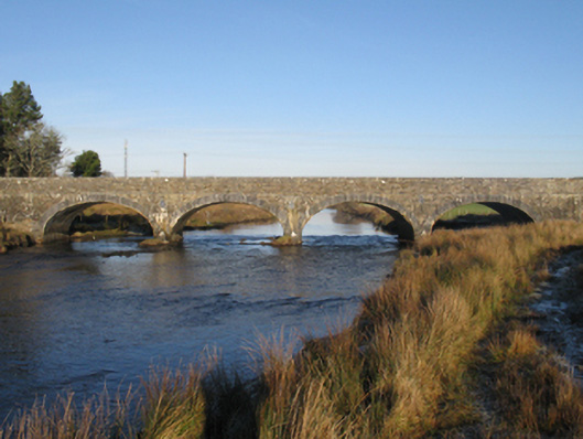
What is recorded here
Bellacorick Bridge makes musical notes when its parapet is played with a stone. Arrive at a piano recital carrying a rock and they call security; arrive here and they ask if you know another one.
Four-arch bridge over river, built 1820-1; dated 1820. Part repointed coursed cut-limestone walls centred on tooled limestone ashlar rounded triangular cutwaters having domed pyramidal capping with cut-limestone stringcourses supporting parapets having tooled cut-limestone coping centred on rope twist-detailed cut-limestone date stone ("1820"). Series of four elliptical arches between cast-iron "Pattress" tie plates with drag edged tooled limestone ashlar voussoirs. Sited spanning Owenmore River with unkempt banks to river.
A bridge representing an important component of the early nineteenth-century civil engineering heritage of County Mayo with the architectural value of the composition, one designed by William Bald (c.1789-1857) 'BY ORDER OF THE GRAND JURY...RIGHT HON DENIS BROWNE [1763-1828] FOREMAN', confirmed not only by the construction in a multi-toned limestone with blue-grey dressings producing a mild polychromatic palette, but also by the elegant "sweep" of the arches making a pleasing visual statement at a crossing over the Owenmore River: meanwhile, a much-weathered benchmark remains of additional interest for the connections with cartography and the preparation of maps by the Ordnance Survey (established 1824). NOTE: Bellacorick Bridge is colloquially known as "The Musical Bridge" owing to the octaves glissando or octaves staccato produced when a fist-sized round stone 'of a few pounds weight' is run or tapped in quick succession along the top of the north parapet. A missing piece of masonry at its west end is supposedly the result of a cautionary prediction by the seventeenth-century oracle, Brian Rua Ó Cearbhain, who prophesised that the completion of a crossing over the Owenmore River would result in the sudden death of whoever it was that laid the last stone.
From the Buildings of Ireland (National Inventory of Architectural Heritage) record 31302702
This does not grant access. Most recorded buildings are privately owned; view them only from public ground unless the owner allows entry.
Places near here
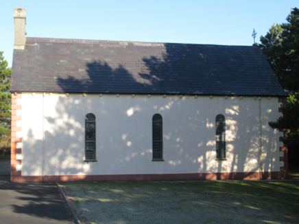 Catholic Church of Our LadyChurch/chapel · 2.1 mi
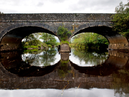 Deel BridgeBridge · 3.6 miAltar in Largan BegAltar · 3.6 mi
 Wild Nephin National ParkNature reserve · 3.8 mi
 Slieve CarrMountain / peak · 4.8 mi
 Hawthorn6.2 mi
 Nephin Beg South Top (Cruckgarru)Mountain / peak · 7.6 mi
 Letterkeen LoopWalking route · 8.1 miAttavally IslandIslet · 8.6 mi
 IndicatedFairy fort / earthen ringfort · 8.8 miGrave of the KingsArchaeological place · 9.1 mi
 Derreens IslandIslet · 11 mi
Pictures: National Inventory of Architectural Heritage; Phil Armitage, Wikimedia Commons · Public domain; Colin Park, Wikimedia Commons · CC BY-SA 2.0; Didier Descouens, Wikimedia Commons · CC BY-SA 4.0; Colin Park, Geograph · CC BY-SA 2.0; jeremy durrance, Geograph · Creative Commons Attribution-ShareAlike 2.0; Oliver Dixon, Geograph · CC BY-SA 2.0
More historic places in County Mayo · All of County Mayo
What do you know about this place?