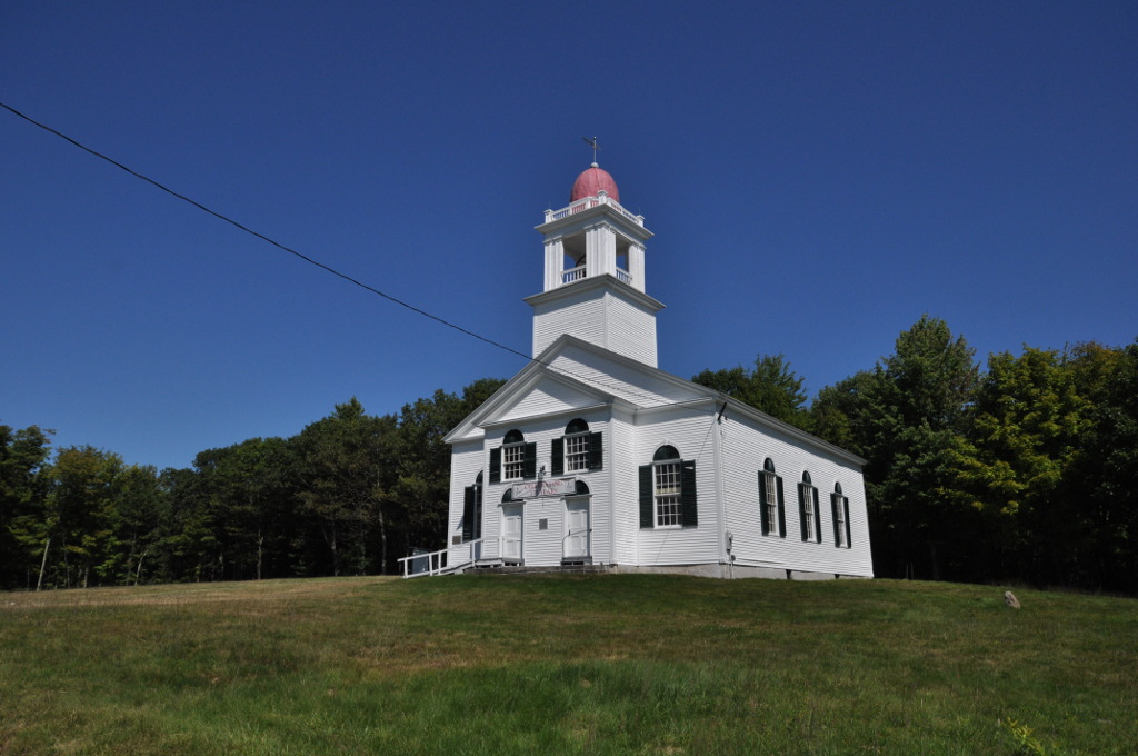
What is recorded here
Situated on top of high ground with good views in all directions. This appears to be a natural rock outcrop with bush known locally as the 'Bell Bush'. No archaeological features visible, of doubtful archaeological significance.
Compiled by: Caimin O'Brien.
Date of upload: 23 May 2011
A local holy well or ritual site; wider significance not recorded.
The monument record does not grant public access. Check the route and ask the landowner before entering private land.
- What survives
- Recorded monument
Places near here
 IndicatedMound · 274 yd
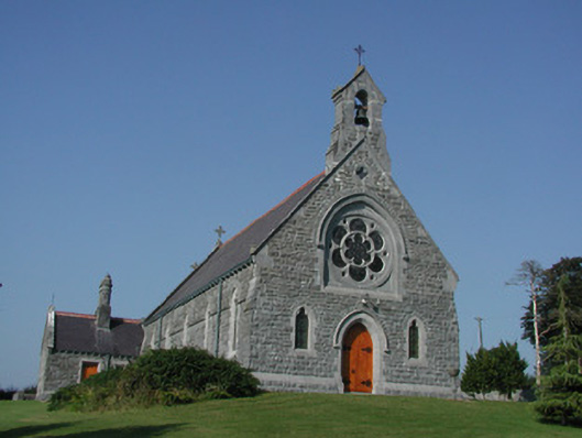 Saint Kieran's Catholic Churchchurch/chapel · 308 yd
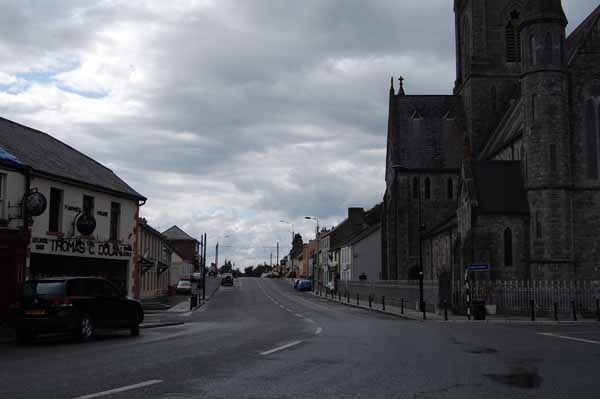 Church (Site of)Church · 602 yd
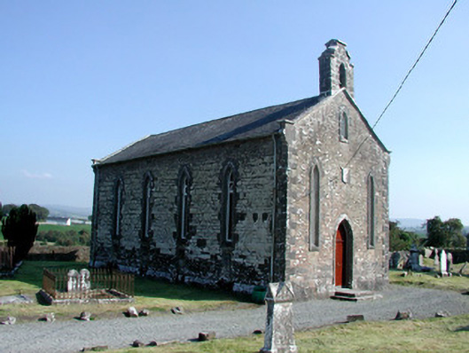 Saint Kieran's Church (Seirkieran)church/chapel · 691 yd
 RampartsCastle, motte · 846 yd
 Saint Kieran's WellSpring · 1067 yd
 HawthornHawthorn · 1103 yd
 Derrykeel WoodWood · 1.0 mi
 Ballymooney Castle in RuinsHouse, fortified house · 1.1 mi
 Saint Dominick's WellSpring · 2.0 mi
 Drummin HillMountain / peak · 2.2 mi
 Cumber HillMountain / peak · 2.8 mi
Other information
Photo: Credit not shown in the picture search · Rights wording not checked; contact us if this picture should be removed