
What is recorded here
From the National Monuments Service (Archaeological Survey of Ireland) record OF039-004
Places near here
Photo credits
- Didier Descouens, Wikimedia Commons · CC BY-SA 4.0
- Maker not stated on source page, nigelborrington.com
- Maker not stated on source page, www.dailymail.co.uk
- Andreas F. Borchert, Wikimedia Commons · CC BY-SA 4.0
- National Inventory of Architectural Heritage
- Maker not stated on source page, extra.ie
- Picture: The Standing Stone
- Clareen72, Wikimedia Commons
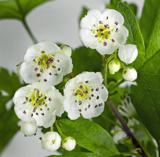 Hawthorn297 yd
Explorer Tom Hawthorn in County Offaly claims to be older than the hills, which is a stretch even for a bush with thorns. It’s…
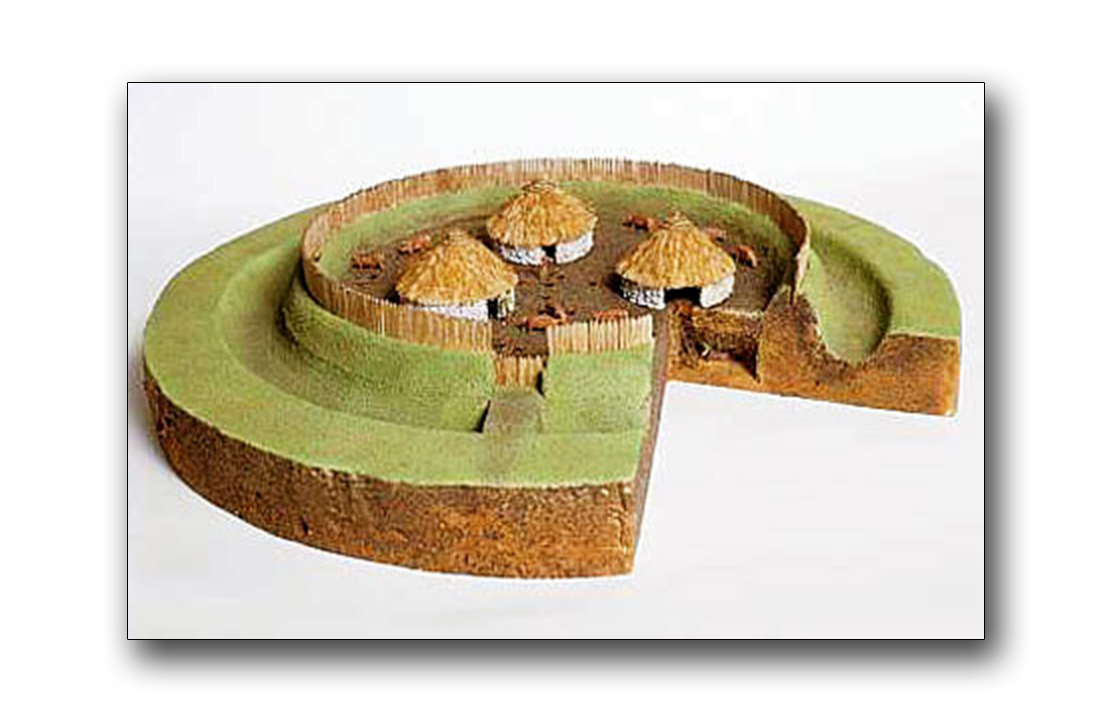 Fairy fort / earthen ringfort in OakleyparkFairy fort / earthen ringfort · 507 yd
Explorer Tom Fairy fort / earthen ringfort in Oakleypark had a fiddler play all night until the bulldozers arrived. He quit mid-song…
 TombTomb, table tomb · 725 yd
Explorer Tom Tomb in Churchland belongs to Nicholas Herbert, who died in 1672 and probably had great hair. It’s proud of its…
 Settlement desertedSettlement deserted, medieval · 752 yd
Explorer Tom Settlement deserted in Bellhill is a medieval mess that Saint Patrick would probably call 'a bit much'. It has a round…
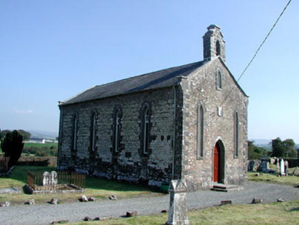 Saint Kieran's Church (Seirkieran)Church/chapel · 755 yd
Explorer Tom Saint Kieran's Church (Seirkieran) hosted a dance that went on until the round tower started shaking. It’s old enough…
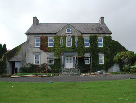 Mossfield HouseCountry house · 829 yd
Explorer Tom Mossfield House has a pedimented entrance that looks like it’s about to bow, but it’s too busy showing off those…
 Castle WellWell · 976 yd
Explorer Tom Castle Well has a curse on it for people who don’t wave at the marshes. The gun loops are still there, staring…
 Ballymooney Castle in RuinsHouse, fortified house · 1017 yd
Explorer Tom Ballymooney Castle in Ruins is mostly gone, but two towers are still standing guard like tired bouncers. Two lads once…
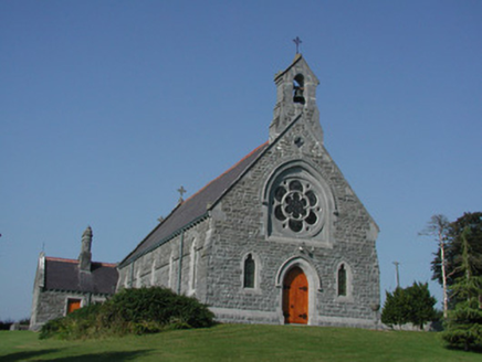 Saint Kieran's Catholic ChurchChurch/chapel · 1086 yd
Explorer Tom Saint Kieran's Catholic Church sits high up looking down on the river, acting like it owns the whole valley. If I were…
 Seir Kieran GAA GroundGAA ground · 1117 yd
Explorer Tom Clareen gives Seir Kieran a hurling field with more heart than a village its size ought to fit. I asked the gate…
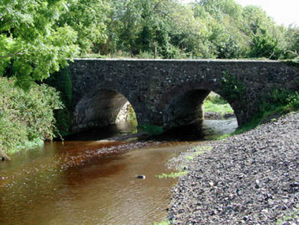 Breaghmore BridgeBridge · 1.3 mi
Explorer Tom Breaghmore Bridge in Bellhill is stuck in a feud over who owns the view. One family claims the concrete patch, the…
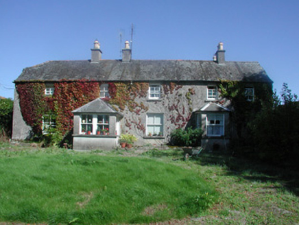 Castletown HouseFarm house · 1.6 mi
Explorer Tom Castletown House looks like a farmer who bought a suit from a charity shop and tried to pass it off as bespoke. The…
More archaeology and monuments in County Offaly · All of County Offaly

What do you know about this place?Tap to add a comment or ask a question