What is recorded here
Bawn in Tullowmacjames stood atop a natural rock outcrop beside a seventeenth-century fortified house, but the structure has vanished. A doorway on the first floor once opened onto its wall walk, inviting residents to step outside into the upland air. That much is known, though the bawn itself no longer exists to be entered.
Situated atop natural rock outcrop in unduoating upland area. Destroyed bawn which was located to the W of the 17th century fortified house (TN030-027001) and was accessed at wall walk level from a doorway on the NW angle at first floor level. The bawn area is depicted on the first edition OS 6-inch map.
The above description is derived from 'The Archaeological Inventory of County Tipperary. Vol. 1 - North Tipperary' compiled by Jean Farrelly and Caimin O'Brien (Dublin: Stationery Office, 2002). In certain instances the entries have been revised and updated in the light of recent research.
Date of upload/revision: 22 September 2008
The monument record does not grant public access. Check the route and ask the landowner before entering private land.
- What survives
- Recorded monument
Places near here
 Tullow CastleCastle · 36 yd
 Tullow HillMountain / peak · 537 yd
 Enclosure in TullowmacjamesEnclosure · 604 yd
 Lisalleen Castle (in ruins)Castle, unclassified · 1121 yd
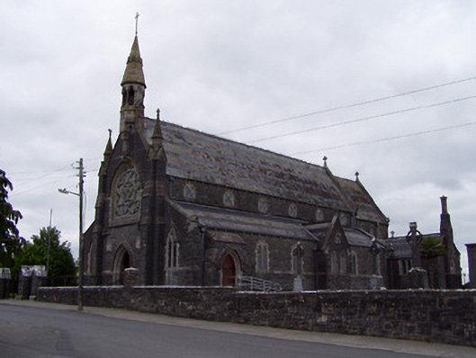 Catholic Church of the Sacred Heartchurch/chapel · 1165 yd
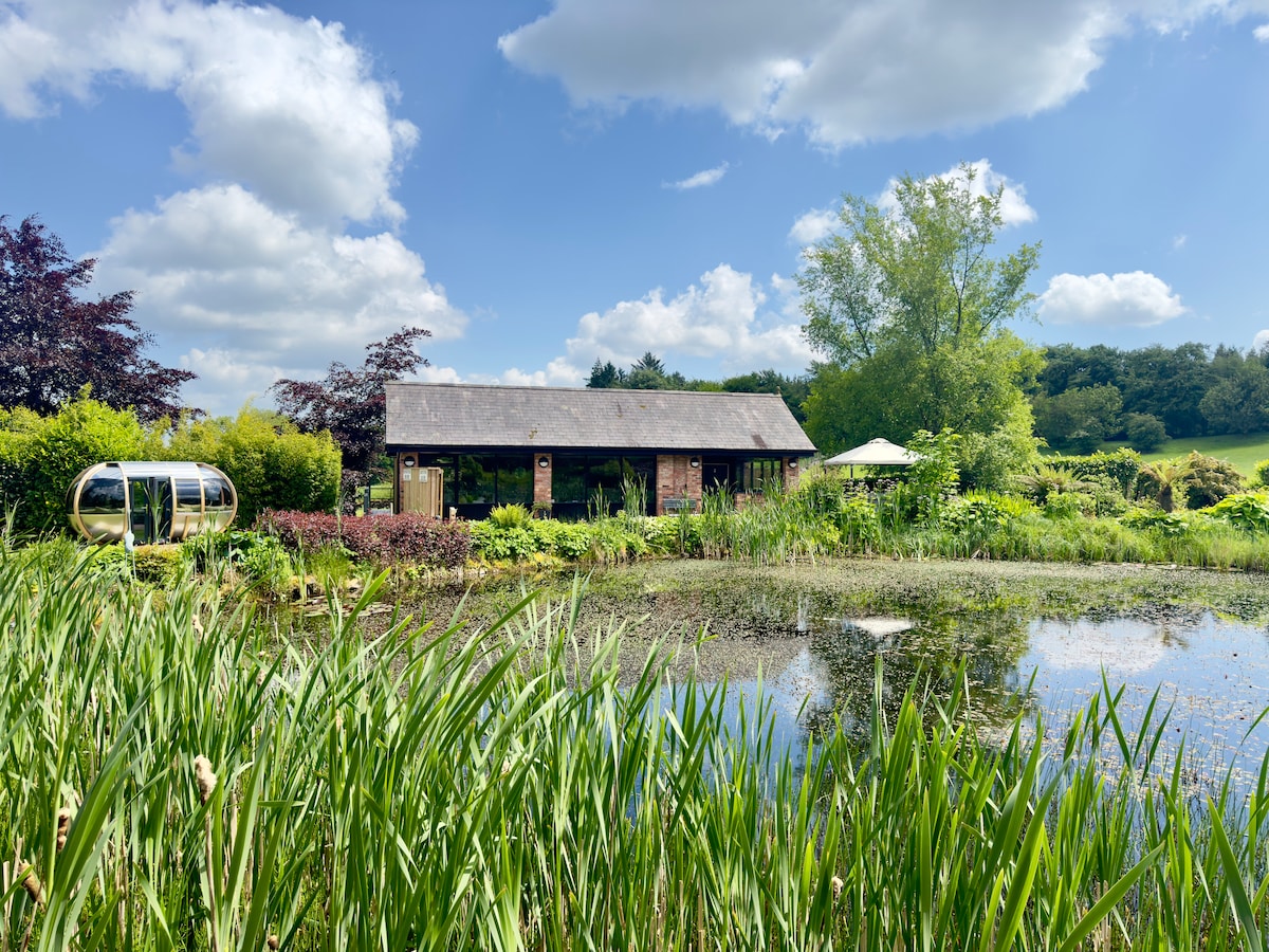 Enclosure in Cranagh,longorchardEnclosure · 1.5 mi
 Clonmeen WoodWood · 2.2 mi
 Kilvilcorris BogForest · 8.4 mi
 Devil's Bit MountainMountain / peak · 8.4 mi
 Pheasant IslandHeritage attraction · 9.0 mi
 Lár na PáirceMuseum · 9.1 mi