
What is recorded here
Mnemo measures the bawn in centimetres and casts the survey in the dark chamber. O'Donovan's numbers become a turning lane: four metres wide, thirty centimetres high, curving from the west side toward the north. The chamber leans forward, asks whether the lane is solid, and waits for the first camera to answer.
At a fortification (SL011-019---). Between 0.4m and 5.9m out from the W and N sides of the N extent of the fortification is a low, curving bank (Wth. 1.45-4m; H 0.25-0.4m) of earth and stone which probably marks the circuit of a bawn wall.
Compiled by: Patrick F. O'Donovan
Date of upload: 19 January 2011
The monument record does not grant public access. Check the route and ask the landowner before entering private land.
- What survives
- Recorded monument
Places near here
 Roslee CastleCastle, tower house · 257 yd
 Wild Atlantic Way: Easky PierVisitor information · 285 yd
 Bunowna PointHeadland · 316 yd
 Field boundary in BunownaField boundary · 538 yd
 ToberabiddeenHoly well · 558 yd
 AbbeyChurch · 592 yd
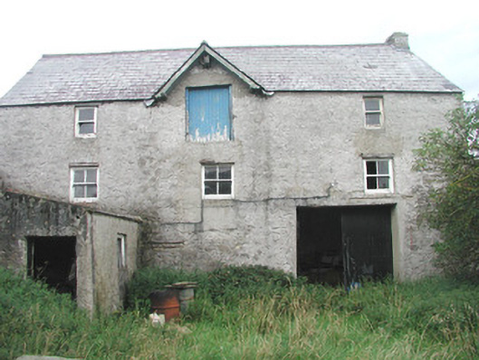 Swan Houseoutbuilding · 628 yd
 Jim Smith MemorialMemorial · 1314 yd
 Cooanmore PointHeadland · 1.2 mi
 CastleCastle, ringwork · 1.4 mi
 Wild Atlantic Way: Inishcrone PierVisitor information · 7.3 mi
 Grave of the Black PigArchaeological place · 8.2 mi
Other information
Photo: Credit not shown in the picture search · Rights wording not checked; contact us if this picture should be removed