What is recorded here
Bawn in Ballygasty is a lost square wall around an unclassified castle in County Galway, now cut by a farm road. The castle may have sat in its southwest corner while the wall enclosed the whole place. Grass and traffic have erased most of the shape, but the road still crosses the bawn like a line drawn through a forgotten room.
In flat pastureland. On inspection in November 1982, a roughly square enclosure (25m N-S; 24m E-W) was noted to the E of an unclassified castle (GA105-021----). It was defined by a grass-covered stone wall. Current aerial imagery (OSi digitalglobe) suggests that enclosure was possibly a bawn wall that surrounded the castle, which occupies its SW corner. A farm roadway now cuts across it to the E of the castle site (Google Earth imagery dated 18/09/2020 last accessed 20/08/2021)
Compiled by: Olive Alcock
Date of upload: 20 August 2021
The monument record does not grant public access. Check the route and ask the landowner before entering private land.
- What survives
- Recorded monument
Places near here
 Ballygasty Castle in ruinsCastle, unclassified · 12 yd
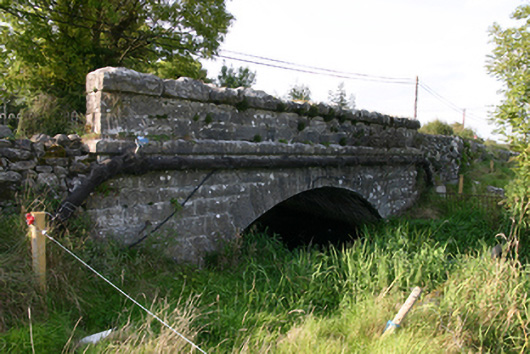 White Bridgebridge · 680 yd
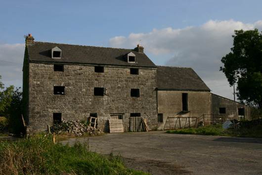 White Millmill (water) · 728 yd
 Raruddy Castle (in ruins)Castle, tower house · 1378 yd
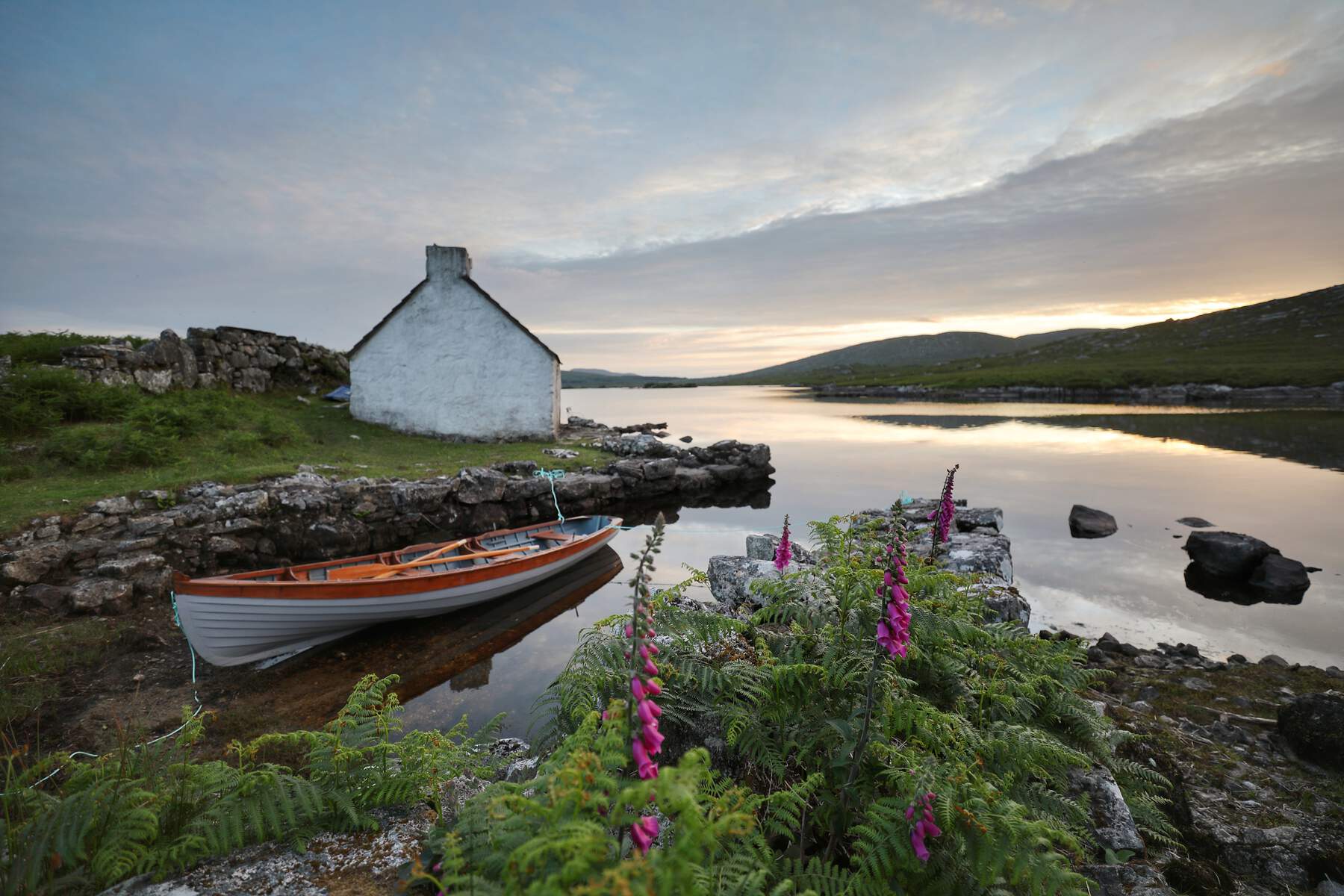 CaveMan-made underground passage · 1637 yd
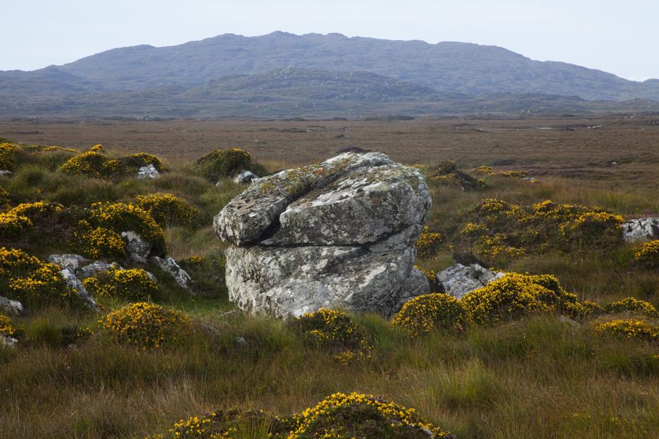 Mass-rock in CosmonaMass-rock · 1.0 mi
 Barrack IslandIslet · 1.4 mi
 Middle IslandIslet · 1.4 mi
 Long PointHeadland · 2.1 mi
 Turoe StoneHeritage attraction · 2.6 mi
 Dartfield Horse MuseumHeritage attraction · 3.7 mi
 Scalpeen RockNamed rock · 6.8 mi