What is recorded here
Kincullia’s low earthen ring holds a forgotten chamber beneath the grass, waiting for someone brave enough to stop pretending the ground is empty. The visible bank has surrendered to fields and time, but the hidden passage remains a deliberate wound in the earth, built by human hands and never explained. That is the shape of the lost world: not a grand castle, but a small circle around a secret door.
On a slight rise in grassland. Poorly preserved circular rath (diam. c. 40m) defined by a low bank from ENE through E to S. A NE-SW running field boundary clips the monument at W and another NW-SE running field boundary runs immediately to its SW. A Man-made underground passage (GA105-134001-) is associated.
Compiled by: Galway Archaeological Survey, UCG
Date of upload: 9 January 2018
The monument record does not grant public access. Check the route and ask the landowner before entering private land.
- What survives
- Recorded monument
Places near here
 CaveMan-made underground passage · 442 yd
 KilnKiln, lime · 1127 yd
 CaneArchaeological place · 1252 yd
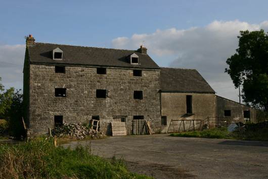 White Millmill (water) · 1721 yd
 Ballygasty Castle in ruinsCastle, unclassified · 1728 yd
 Bush IslandIslet · 1.6 mi
 Middle IslandIslet · 1.7 mi
 Raruddy Castle (in ruins)Castle, tower house · 1.8 mi
 Long PointHeadland · 2.1 mi
 Turoe StoneHeritage attraction · 2.8 mi
 Dartfield Horse MuseumHeritage attraction · 2.8 mi
 Scalpeen RockNamed rock · 7.0 mi